Bang Sue District, Bangkok

Gallery (2)
Map
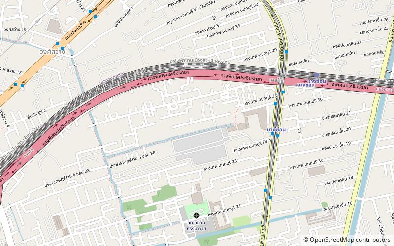
Map
Gallery
Facts and practical information
Address
วิภาวดี (บางซื่อ)Bangkok
ContactAdd
Social media
Add
Getting there by public transportation
Public transportation stops near this location
- Metro
- Bus
- Train
- Ferry
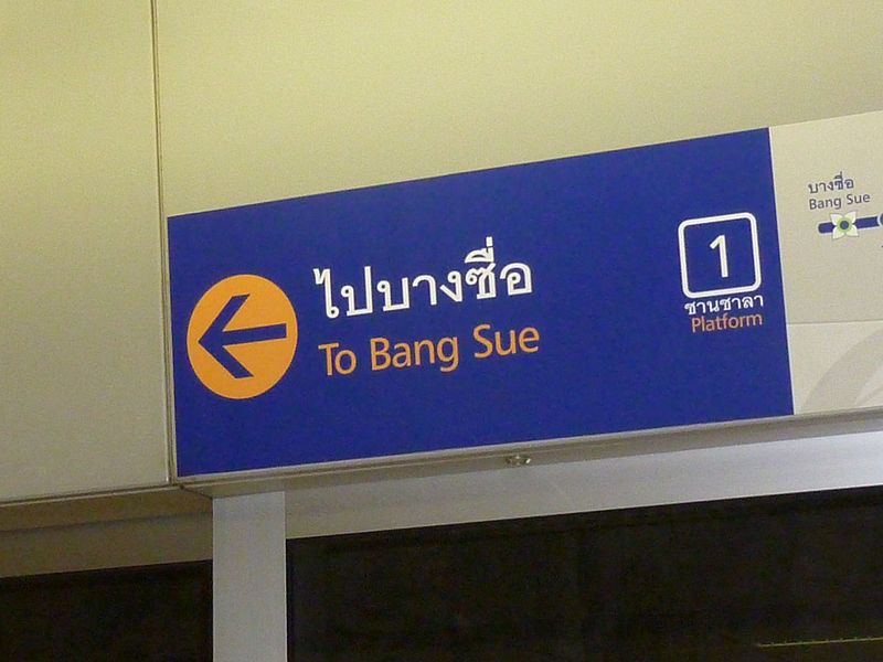
 Metro
Metro
- Calculate routeBang Son 6 min walk
- Calculate routeWong Sawang 18 min walk
- Calculate routeTao Poon 25 min walk
- Calculate routeBang Pho 28 min walk
- Calculate routeBang Son 10 min walk
- Calculate routeBang Sue Junction 34 min walk
- Calculate routeBang Sue Grand 36 min walk
- Calculate routeOpposite King Mongkut's University of Technology North Bangkok 26 min walk
- Calculate routeKing Mongkut's University of Technology North Bangkok 27 min walk
- Calculate routeOpposite Rama 7 Bridge Pier 30 min walk
- Calculate routeRama 7 Bridge 30 min walk
- Calculate routeBang Po 30 min walk
Day trips


Frequently Asked Questions (FAQ)
Which popular attractions are close to Bang Sue District?
Nearby attractions include Wong Sawang, Bangkok (15 min walk), Wat Soi Thong, Bangkok (23 min walk).
How to get to Bang Sue District by public transport?
The nearest stations to Bang Sue District:
Metro
Train
Bus
Ferry
Metro
- Bang Son • Lines: MRT Purple (6 min walk)
- Wong Sawang • Lines: MRT Purple (18 min walk)
Train
- Bang Son (10 min walk)
- Bang Sue Junction (34 min walk)
Bus
- Opposite King Mongkut's University of Technology North Bangkok • Lines: 1010 (26 min walk)
- King Mongkut's University of Technology North Bangkok • Lines: 1010, 1010 มจพ. → สี่แยกบางสีทอง (27 min walk)
Ferry
- Rama 7 Bridge • Lines: เรือด่วนพิเศษธงส้ม, เรือด่วนพิเศษธงเขียว, เรือด่วนพิเศษธงเหลือง, เรือประจำทาง (ไม่มีธง) (30 min walk)
- Bang Po • Lines: เรือด่วนพิเศษธงส้ม, เรือด่วนพิเศษธงเหลือง, เรือประจำทาง (ไม่มีธง) (30 min walk)