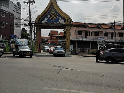
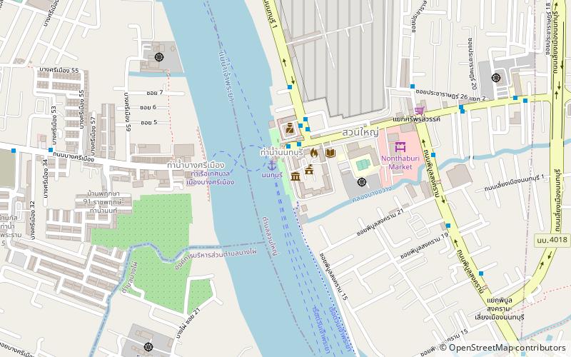
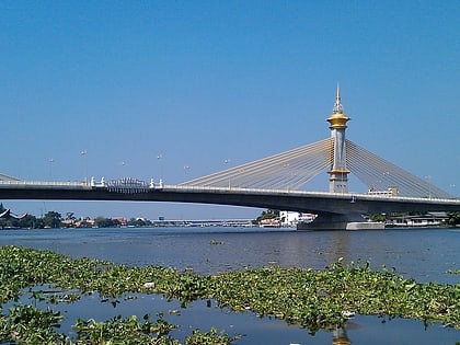
Rama V Bridge, Nonthaburi
Map
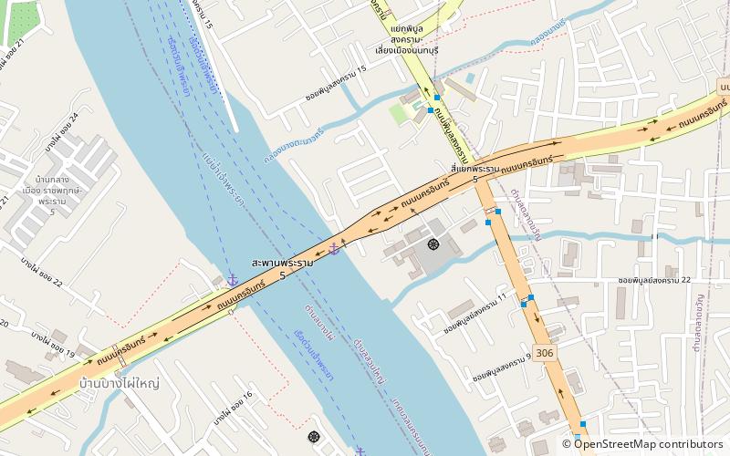
Map

Facts and practical information
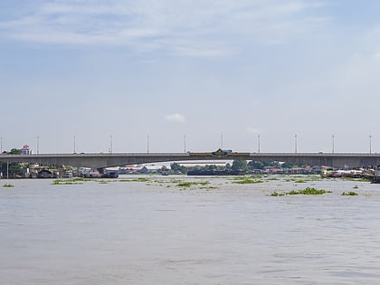
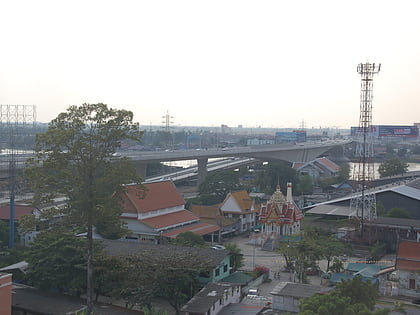
The Rama V Bridge is a bridge across the Chao Phraya River in Nonthaburi Province, Thailand. The bridge was named in the honour of King Chulalongkorn. It is not related to Rama V Road in Dusit District, Bangkok in any way. ()
Local name: สะพานพระราม 5Length: 1050 ftWidth: 95 ftHeight: 26 ftCoordinates: 13°50'0"N, 100°29'49"E
Address
Nakhon In RdNonthaburi 11000
ContactAdd
Social media
Add
Day trips
Rama V Bridge – popular in the area (distance from the attraction)
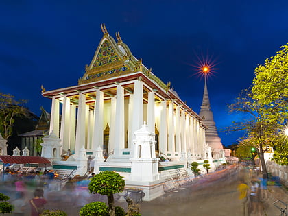
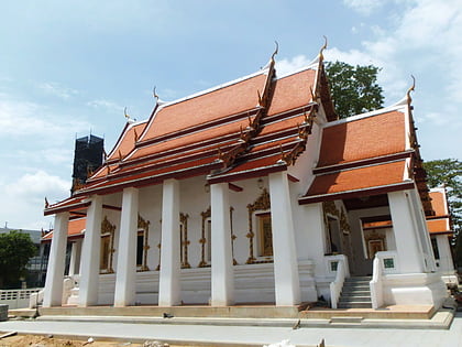
Nearby attractions include: CentralPlaza Rattanathibet, Wat Chaloem Phra Kiat Worawihan, Wat Chaiyaphrueksamala, Wat Soi Thong.
Frequently Asked Questions (FAQ)
How to get to Rama V Bridge by public transport?
The nearest stations to Rama V Bridge:
Ferry
Bus
Ferry
- Pibul 2 • Lines: เรือประจำทาง (ไม่มีธง) (2 min walk)
- Rama 5 Bridge • Lines: เรือด่วนพิเศษธงส้ม (6 min walk)
Bus
- Wat Nakhon In • Lines: 1102, 203 (5 min walk)
- Opposite Wat Nakhon In • Lines: 1102, 203, 30 (6 min walk)
