Phran Nok Road, Bangkok
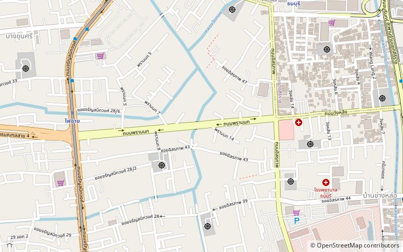
Map
Map

Facts and practical information
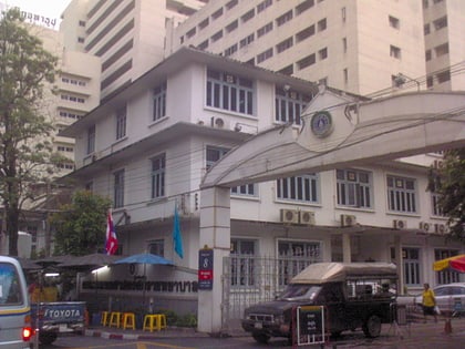
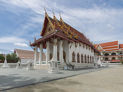
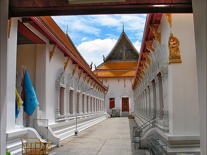
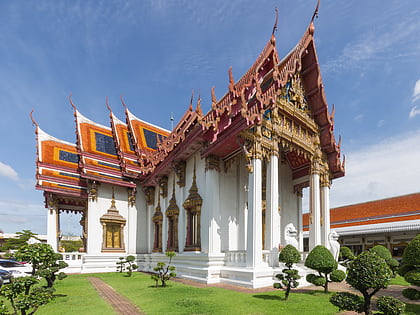
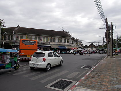
Phran Nok, also spelled Pran Nok or Prannok is a name of the street in Ban Chang Lo Subdistricts, Bangkok Noi District, Bangkok's Thonburi side. The name is also the surrounding area. ()
Coordinates: 13°45'19"N, 100°28'29"E
Address
ธนบุรี (บางกอกน้อย)Bangkok
ContactAdd
Social media
Add
Day trips
Phran Nok Road – popular in the area (distance from the attraction)
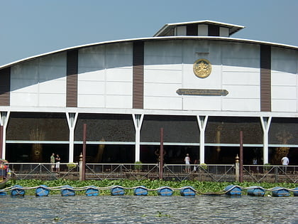
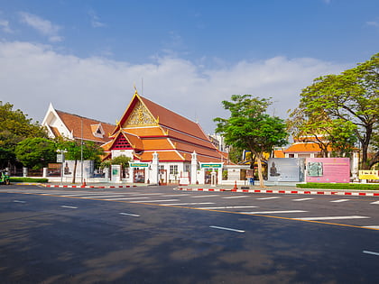
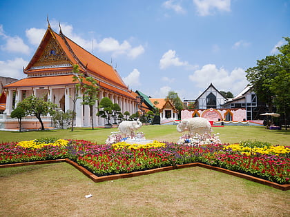
Nearby attractions include: National Museum of Royal Barges, Bangkok National Museum, Front Palace, Siriraj Medical Museum.
Frequently Asked Questions (FAQ)
Which popular attractions are close to Phran Nok Road?
Nearby attractions include Fai Chai Junction, Bangkok (10 min walk), Ban Noen, Bangkok (10 min walk), Charan Sanit Wong Road, Bangkok (12 min walk), Bangkok Noi District, Bangkok (13 min walk).
How to get to Phran Nok Road by public transport?
The nearest stations to Phran Nok Road:
Metro
Train
Bus
Ferry
Metro
- Fai Chai • Lines: MRT Blue (10 min walk)
- Bang Khun Non • Lines: MRT Blue (15 min walk)
Train
- Thonburi (12 min walk)
- Charan Sanitwong (15 min walk)
Bus
- Bus stop (14 min walk)
- Opposite PATA Department Store PinKlao • Lines: 203, 516 (32 min walk)
Ferry
- Tha Wang Lang • Lines: เรือด่วนพิเศษธงส้ม, เรือด่วนพิเศษธงเขียว, เรือด่วนพิเศษธงเหลือง, เรือท่องเที่ยวเจ้าพระยา, เรือประจำทาง (ไม่มีธง) (21 min walk)
- Thonburi Railway (24 min walk)

