Uruphong, Bangkok
Facts and practical information
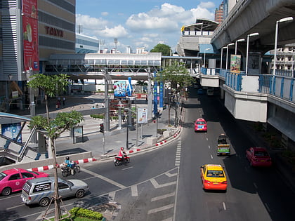
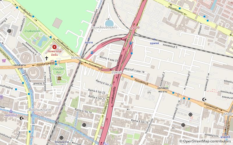
Uruphong is a four way intersection and neighbourhood in Thailand. It is in the areas of the Thung Phaya Thai and Thanon Phetchaburi sub-districts which are the part of the Ratchathewi district in downtown Bangkok. It connects the Rama VI and Phetchaburi roads beneath both a footbridge and also to the expressway. It's considered to be the first part of Phetchaburi road and is near the Yommarat railway halt, Ministry of Foreign Affairs, Phaya Thai Palace, Ramathibodi Hospital, Phramongkutklao Hospital and Victory Monument. ()
วิภาวดี (ราชเทวี)Bangkok
Uruphong – popular in the area (distance from the attraction)
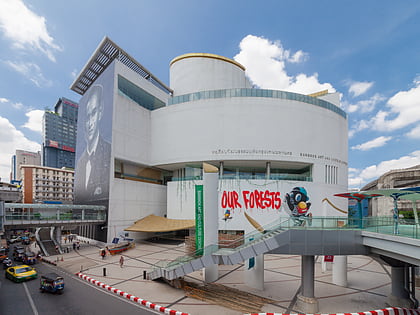
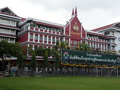
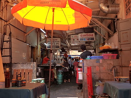
Nearby attractions include: Rama I Road, Bangkok Art and Culture Centre, Debsirin School, Talat Nang Loeng.
Frequently Asked Questions (FAQ)
Which popular attractions are close to Uruphong?
How to get to Uruphong by public transport?
Train
- Yommarat (6 min walk)
- Uruphong (7 min walk)
Ferry
- Sapan Charoenpol • Lines: Golden Mount (12 min walk)
- แยกหลานหลวง (12 min walk)
Metro
- Ratchathewi • Lines: BTS Sukhumvit (16 min walk)
- Phaya Thai • Lines: BTS Sukhumvit (18 min walk)
Bus
- 2 • Lines: 2, 511, 8, S1 (16 min walk)
- National Stadium • Lines: 11, 11 ปอ. เมกาบางนา - เอ็ม บี เค เซ, 508 (19 min walk)
