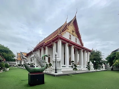
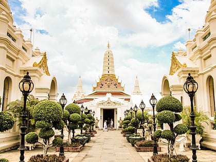
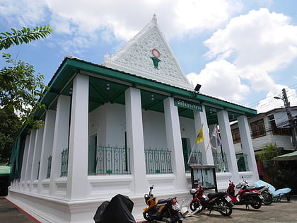
Itsaraphap Road, Bangkok
Map
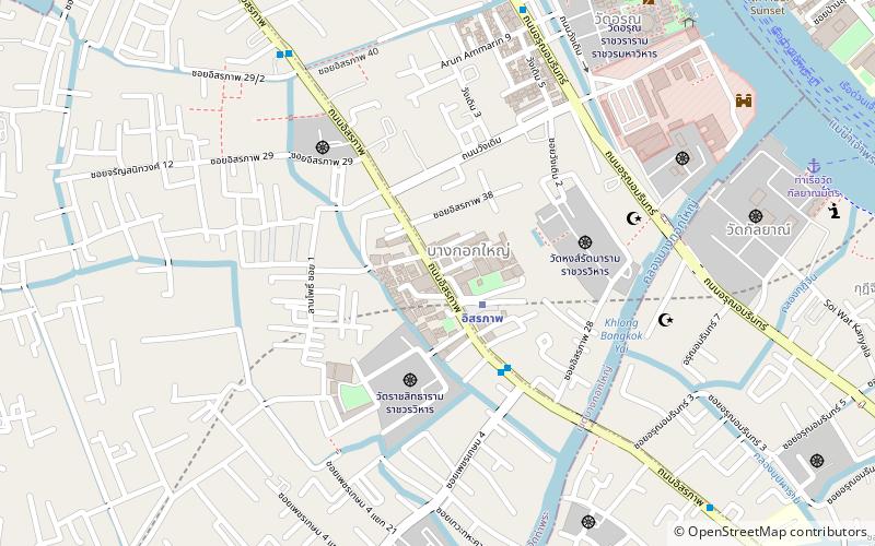
Map

Facts and practical information
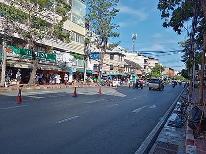
Itsaraphap Road is a main road in Bangkok's Thonburi side, it is also the location of the Itsaraphap MRT Station, the Blue Line extension station and the only underground station on the Thonburi side. ()
Coordinates: 13°44'20"N, 100°29'5"E
Address
ธนบุรี (บางกอกใหญ่)Bangkok
ContactAdd
Social media
Add
Day trips
Itsaraphap Road – popular in the area (distance from the attraction)
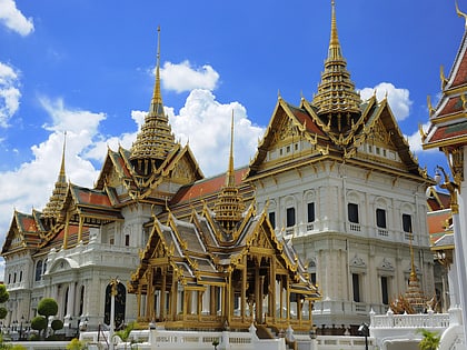
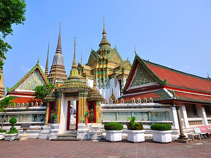
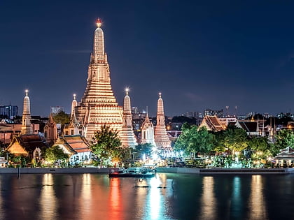
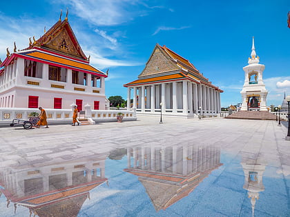
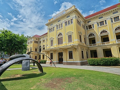
Nearby attractions include: Grand Palace, Wat Pho, Wat Arun, Pak Khlong Talat.
Frequently Asked Questions (FAQ)
Which popular attractions are close to Itsaraphap Road?
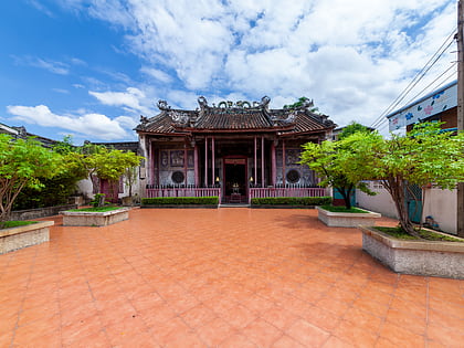
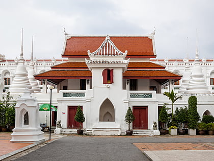
Nearby attractions include Pho Sam Ton, Bangkok (4 min walk), Kudi Charoenphat, Bangkok (6 min walk), Tonson Mosque, Bangkok (6 min walk), Wat Hong Rattanaram, Bangkok (6 min walk).
How to get to Itsaraphap Road by public transport?
The nearest stations to Itsaraphap Road:
Metro
Ferry
Train
Metro
- Itsaraphap • Lines: MRT Blue (2 min walk)
- Sanam Chai • Lines: MRT Blue (20 min walk)
Ferry
- Tha Tien • Lines: เรือด่วนพิเศษธงส้ม, เรือท่องเที่ยวเจ้าพระยา, เรือประจำทาง (ไม่มีธง) (16 min walk)
- Rajinee • Lines: เรือประจำทาง (ไม่มีธง), เส้นทางเดินเรือโดยสารฯ คลองบางกอ (17 min walk)
Train
- Wongwian Yai (28 min walk)

