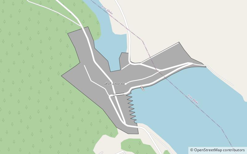
Sidi el Barrak Dam
Map

Map

Facts and practical information
The Sidi el Barrak Dam is an embankment dam centred 18 km northeast of Tabarak and 2 km from the Mediterranean Sea on the Oued Zouara River in the Beja Governorate, Tunisia. Constructed between 1994 and 2000, the primary purpose of the dam is water supply. As part of the Sidi el Barrak Development Project water stored in the dam is pumped to the Seyjame Dam, at a rate of 265,000,000 m3 annually. This water is supplied to Tunis, Cap Bon and the Sahel including Sfax for municipal use along with other agricultural purposes. The entire project was completed in 2002. ()
Local name: سد سيدي البراق Opened: 2000 (26 years ago)Length: 1640 ftHeight: 98 ftCoordinates: 37°1'30"N, 8°56'2"E
Location
Béja
ContactAdd
Social media
Add
Day trips
Sidi el Barrak Dam – popular in the area (distance from the attraction)
Nearby attractions include: Jebel Chitana-Cap Négro National Park.

