Jebel Chitana-Cap Négro National Park

Gallery (1)
Map
Map
Facts and practical information
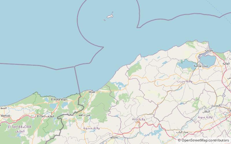
Jebel Chitana-Cap Negro national Park is a national park situated on the north coast of Tunisia, between the cap Serrat and the Sidi el Barrak Dam. It consists of the forest chain of Jebel Chitana, within forest district of Bizerte, and that of Bellif, dependent on the forest district of Béja. ()
Local name: الحديقة الوطنية جبل شيطانة - كاب نيقرو Established: 2010 (16 years ago)Elevation: 43 ft a.s.l.Coordinates: 37°6'14"N, 8°58'51"E
Location
Béja
ContactAdd
Social media
Add
Day trips
Jebel Chitana-Cap Négro National Park – popular in the area (distance from the attraction)
Nearby attractions include: Sidi el Barrak Dam.
