Menchul

Gallery (1)
Map
Map
Facts and practical information
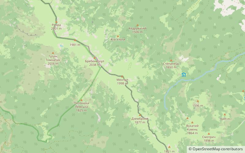
Menchul, also Manchul, is a peak in the Chornohora region of Ukraine, with height of 1,998 meters above sea level. It lies to the southeast of the village of Vilshany in the Uholsko-Shyrokoluzhanskyi Massif of the Carpathian Mountains. ()
Location
Transcarpathia
ContactAdd
Social media
Add
Day trips


