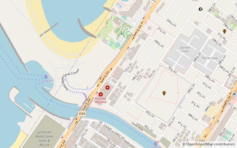
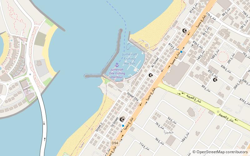
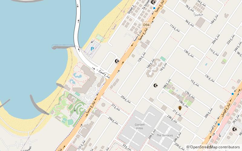
Jumeirah Beach Road, Dubai
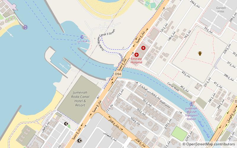
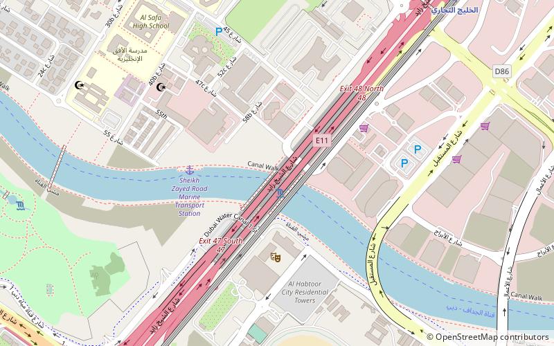
Map
Facts and practical information
Jumeirah Beach Road is a place located in Dubai (Dubai emirate) and belongs to the category of bridge.
It is situated at an altitude of 16 feet, and its geographical coordinates are 25°11'44"N latitude and 55°14'9"E longitude.
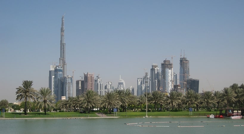
Among other places and attractions worth visiting in the area are: Beach park plaza hotel (shopping, 7 min walk), Jumeirah Archaeological Site (archaeological site, 17 min walk), Majlis Ghorfat Um-Al Sheif (museum, 18 min walk).
Coordinates: 25°11'44"N, 55°14'9"E
Address
جميرا (جميرا الثانية)Dubai
ContactAdd
Social media
Add
Day trips


Frequently Asked Questions (FAQ)
Which popular attractions are close to Jumeirah Beach Road?
Nearby attractions include Jumeirah Archaeological Site, Dubai (17 min walk), Majlis Ghorfat Um-Al Sheif, Dubai (18 min walk), Safa Park, Dubai (24 min walk).