Devil's Dyke, Sussex Downs AONB

Gallery (3)
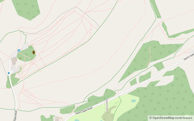
Map
Map
Gallery
Facts and practical information
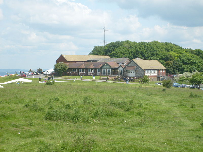
Devil's Dyke is a 100m deep V-shaped dry valley on the South Downs in Sussex in southern England, 5 miles north-west of Brighton. It is managed by the National Trust, and is also part of the Beeding Hill to Newtimber Hill Site of Special Scientific Interest. Devil's Dyke was a major local tourist attraction in the late 19th and early 20th centuries. It is now a popular viewpoint and site for walking, model aircraft flying and hang gliding. The South Downs Way passes the site. ()
Coordinates: 50°53'6"N, 0°12'18"W
Address
Sussex Downs AONB
ContactAdd
Social media
Add
Getting there by public transportation
Public transportation stops near this location
- Bus
 Bus
Bus
- Calculate routeDevils Dyke 9 min walk
- Calculate routeHangleton Bridleway 19 min walk
- Calculate routeBrighton & Hove Golf Club 29 min walk
Day trips


Frequently Asked Questions (FAQ)
How to get to Devil's Dyke by public transport?
The nearest stations to Devil's Dyke:
Bus
Bus
- Devils Dyke • Lines: 77 (9 min walk)
- Hangleton Bridleway • Lines: 77 (19 min walk)