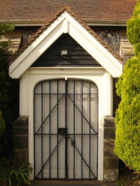
St Peter's Church, Brighton
Map

Gallery

Facts and practical information
St Peter's Church is an Anglican church in the West Blatchington area of Hove, part of the English city of Brighton and Hove. Although it has 11th- and 12th-century origins, the church was rebuilt from a ruined state in the late 19th century and extended substantially in the 1960s, and little trace remains of the ancient building. The church serves the parish of West Blatchington, a residential area in the north of Hove near the border with Brighton. ()
Coordinates: 50°50'50"N, 0°11'6"W
Address
Court Farm RdHove Park (West Blatchington)Brighton BN3 7QY
Contact
+44 1273 732459
Social media
Add
Day trips
St Peter's Church – popular in the area (distance from the attraction)
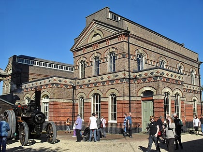
Nearby attractions include: Brighton & Hove Greyhound Stadium, British Engineerium, Benfield Hill, West Blatchington Windmill.
Frequently Asked Questions (FAQ)
Which popular attractions are close to St Peter's Church?
Nearby attractions include West Blatchington Windmill, Brighton (2 min walk), Bishop Hannington Memorial Church, Brighton (9 min walk), Hounsom Memorial United Reformed Church, Brighton (10 min walk), British Engineerium, Brighton (12 min walk).
How to get to St Peter's Church by public transport?
The nearest stations to St Peter's Church:
Bus
Train
Bus
- St Peter's Church • Lines: 5B, N5 (1 min walk)
- St Peters Church • Lines: 55, 5B, N5 (2 min walk)
Train
- Aldrington (20 min walk)
- Hove (27 min walk)


