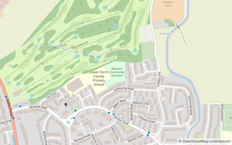
Little Bloxwich, Walsall

Map
Facts and practical information
Little Bloxwich is a residential area of Bloxwich, West Midlands, England. It is situated in the extreme north of the Metropolitan Borough of Walsall on the border with South Staffordshire, and is one of the more rural parts of the borough. ()
Elevation: 492 ft a.s.l.Coordinates: 52°37'47"N, 1°59'48"W
Address
Walsall (Bloxwich East)Walsall
ContactAdd
Social media
Add
Day trips
Little Bloxwich – popular in the area (distance from the attraction)
Nearby attractions include: Goscote, Bloxwich, Pelsall Junction, Blakenall Garage.
Frequently Asked Questions (FAQ)
How to get to Little Bloxwich by public transport?
The nearest stations to Little Bloxwich:
Bus
Train
Bus
- Lichfield Rd / Field Rd • Lines: 701 (13 min walk)
- Field Rd / Ryle St • Lines: 701 (15 min walk)
Train
- Bloxwich North (24 min walk)
- Bloxwich (26 min walk)


