St Paul's Church, Stamford
Map

Gallery

Facts and practical information
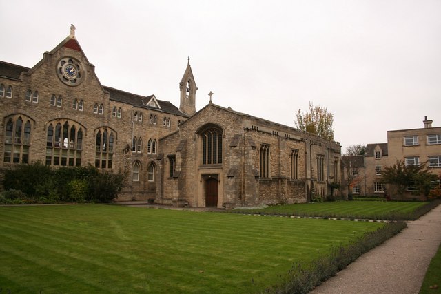
The Church of St Paul in Stamford, Lincolnshire, England, was one of the town's fourteen Medieval parish churches until its deconsecration and extensive demolition during the Reformation when the remaining part became used as the schoolroom of Stamford School. It was then restored and extended in 1929-30 for use as the school chapel in commemoration of those old boys and staff who had died in the First World War. The medieval remains were the eastern part of the south aisle and adjacent fragments of the nave of the church. ()
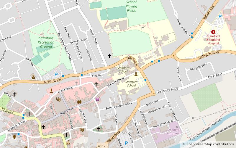
Coordinates: 52°39'15"N, 0°28'28"W
Address
Stamford
ContactAdd
Social media
Add
Day trips
St Paul's Church – popular in the area (distance from the attraction)
Nearby attractions include: Burghley House, Stamford Town Hall, Kings Mill, St George's Church.
Frequently Asked Questions (FAQ)
Which popular attractions are close to St Paul's Church?
Nearby attractions include United Reformed Church, Stamford (2 min walk), Church of St Mary and St Augustine, Stamford (4 min walk), Stamford Museum, Stamford (4 min walk), St George's Church, Stamford (5 min walk).
How to get to St Paul's Church by public transport?
The nearest stations to St Paul's Church:
Bus
Train
Bus
- Stamford Bus Station (10 min walk)
Train
- Stamford (13 min walk)


