South Weald, Brentwood
Map
Facts and practical information
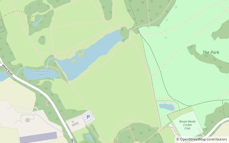
South Weald is a mainly farmland and park settlement in the Borough of Brentwood in Essex, England. The civil parish of South Weald was absorbed by Brentwood Urban District in 1934. In 1931 the civil parish had a population of 6370. ()
Getting there by public transportation
Public transportation stops near this location
- Bus
 Bus
Bus
- Calculate routeLarchwood Gardens 24 min walk
- Calculate routePorters Close 24 min walk
- Calculate routeCoxtie Green Farm 24 min walk
- Calculate routePeniel College 24 min walk
Day trips


Frequently Asked Questions (FAQ)
How to get to South Weald by public transport?
The nearest stations to South Weald:
Bus
Bus
- Larchwood Gardens • Lines: 21, 71, 71C, 72 (24 min walk)
- Porters Close • Lines: 71, 71C, 72 (24 min walk)