Brentwood Town Hall, Brentwood
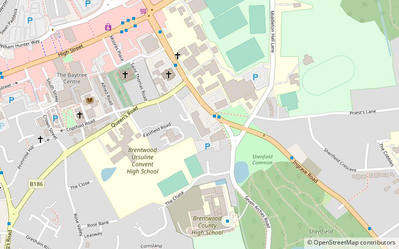
Map

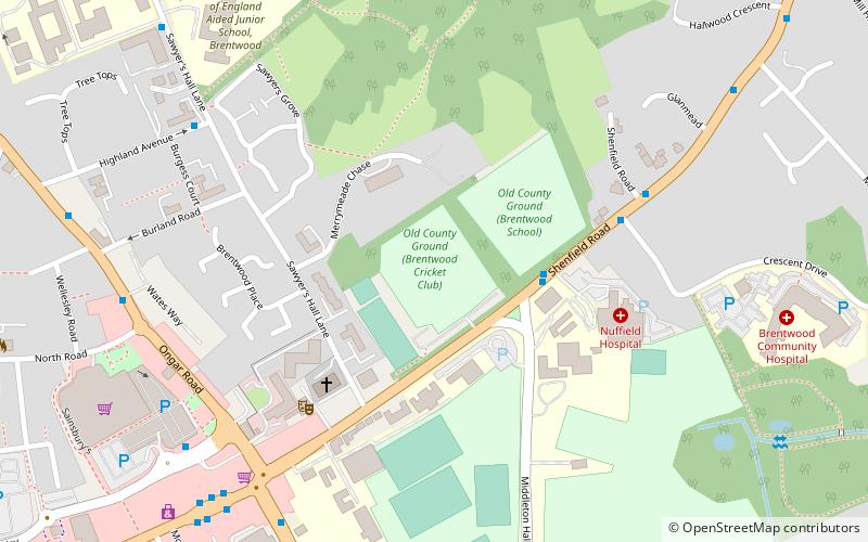
Map

Facts and practical information
Brentwood Town Hall is a municipal building in Ingrave Road, Brentwood, Essex, England which serves as the headquarters of Brentwood Borough Council. ()
Coordinates: 51°37'6"N, 0°18'28"E
Address
Ingrave RoadBrentwood
ContactAdd
Social media
Add
Day trips
Brentwood Town Hall – popular in the area (distance from the attraction)
Nearby attractions include: Brentwood Cathedral, Thorndon Hall, Cranbrook Strict Baptist Chapel, Old County Ground.
Frequently Asked Questions (FAQ)
How to get to Brentwood Town Hall by public transport?
The nearest stations to Brentwood Town Hall:
Bus
Train
Bus
- Council Offices • Lines: 565, 80A, 80C, 9 (1 min walk)
- Queen's Road • Lines: 565, 80C, 9 (4 min walk)
Train
- Brentwood (12 min walk)
- Shenfield (33 min walk)


