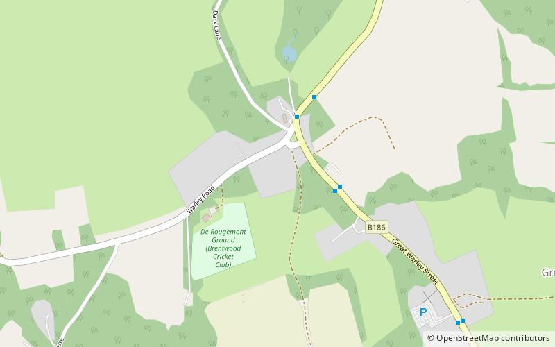
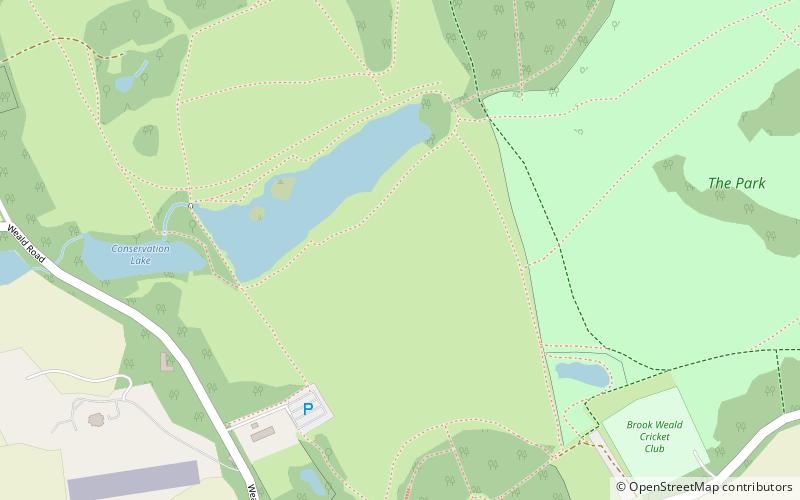
Warley Place, Brentwood

Gallery (1)
Map
Map
Facts and practical information
Warley Place is a 10.1 hectare nature reserve south of Brentwood in Essex. It is managed by the Essex Wildlife Trust. ()
Area: 24.96 acres (0.039 mi²)Elevation: 325 ft a.s.l.Coordinates: 51°35'31"N, 0°17'2"E
Getting there by public transportation
Public transportation stops near this location
- Bus
 Bus
Bus
- Calculate routeBlacksmiths Forge 3 min walk
- Calculate routeThatchers Arms 3 min walk
- Calculate routeNew World Hotel 8 min walk
- Calculate routeGreat Ropers Lane 14 min walk
Day trips


Frequently Asked Questions (FAQ)
How to get to Warley Place by public transport?
The nearest stations to Warley Place:
Bus
Bus
- Blacksmiths Forge • Lines: 269 (3 min walk)
- Thatchers Arms • Lines: 269 (3 min walk)