Totnes Signal Box, Totnes
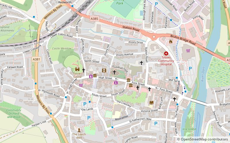
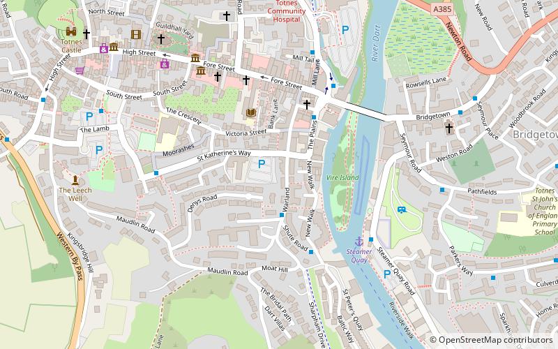
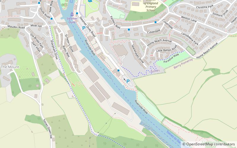
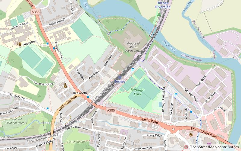
Map
Gallery
Facts and practical information
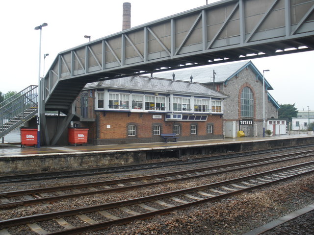
Totnes Signal Box is a Grade II listed former Great Western Railway signal box, located on Totnes railway station. It presently functions as a cafe. ()
Coordinates: 50°26'10"N, 3°41'19"W
Address
Totnes
ContactAdd
Social media
Add
Day trips
Totnes Signal Box – popular in the area (distance from the attraction)
Nearby attractions include: Dartington Hall, Totnes Castle, St Mary's Church, The Shops at Dartington.
Frequently Asked Questions (FAQ)
Which popular attractions are close to Totnes Signal Box?
Nearby attractions include Totnes Guildhall, Totnes (7 min walk), Totnes Priory, Totnes (8 min walk), Totnes Castle, Totnes (8 min walk), St Mary's Church, Totnes (8 min walk).
How to get to Totnes Signal Box by public transport?
The nearest stations to Totnes Signal Box:
Train
Bus
Train
- Totnes (1 min walk)
- Totnes Riverside (7 min walk)
Bus
- Heath Way Car Park • Lines: Bob2 F (10 min walk)
- Harper's Hill • Lines: Bob2 F (12 min walk)


