Totnes Trinitarian Priory, Totnes
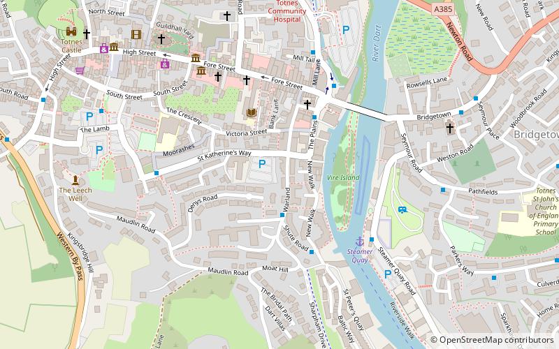
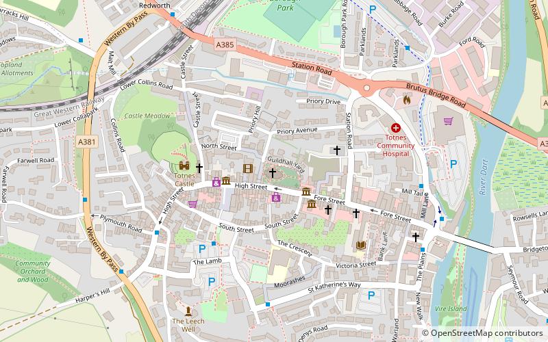
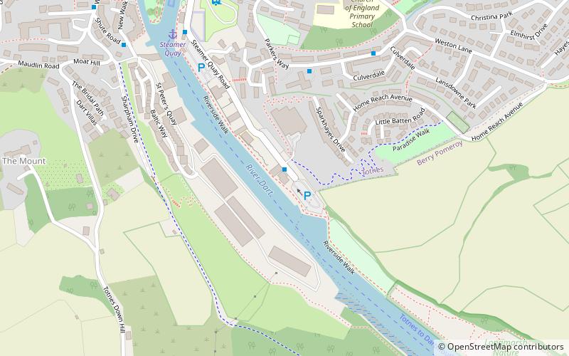
Map
Facts and practical information
Totnes Trinitarian Priory, also known as the Trinitarian hospital of Warland was a medieval monastic house in the town of Totnes in Devon, England. It was founded in 1271, and dissolved in 1509. ()
Coordinates: 50°25'45"N, 3°41'3"W
Address
Totnes
ContactAdd
Social media
Add
Getting there by public transportation
Public transportation stops near this location
- Bus
- Train
 Bus
Bus
- Calculate routeHeath Way Car Park 7 min walk
- Calculate routeHarper's Hill 10 min walk
- Calculate routeSmithfields 18 min walk
- Calculate routeFollaton House 23 min walk
- Calculate routeTotnes 13 min walk
- Calculate routeTotnes Riverside 19 min walk
Day trips
Totnes Trinitarian Priory – popular in the area (distance from the attraction)
Nearby attractions include: Totnes Castle, St Mary's Church, The Shops at Dartington, Totnes Museum.


Frequently Asked Questions (FAQ)
Which popular attractions are close to Totnes Trinitarian Priory?
Nearby attractions include Totnes Museum, Totnes (4 min walk), St Mary's Church, Totnes (7 min walk), Totnes Priory, Totnes (7 min walk), Totnes Guildhall, Totnes (7 min walk).
How to get to Totnes Trinitarian Priory by public transport?
The nearest stations to Totnes Trinitarian Priory:
Bus
Train
Bus
- Heath Way Car Park • Lines: Bob2 F (7 min walk)
- Harper's Hill • Lines: Bob2 F (10 min walk)
Train
- Totnes (13 min walk)
- Totnes Riverside (19 min walk)