Totnes Priory, Totnes
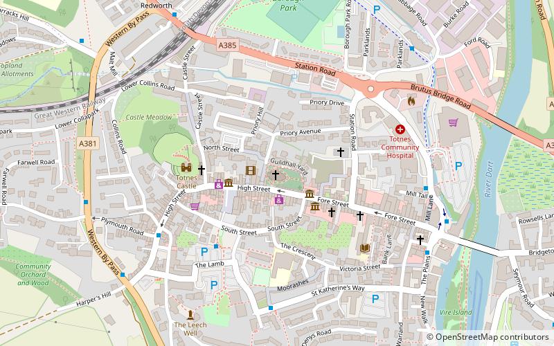
Map
Facts and practical information
Totnes Priory was a priory at Totnes in south Devon, England. ()
Coordinates: 50°25'55"N, 3°41'16"W
Getting there by public transportation
Public transportation stops near this location
- Bus
- Train
 Bus
Bus
- Calculate routeHeath Way Car Park 4 min walk
- Calculate routeHarper's Hill 7 min walk
- Calculate routeSmithfields 13 min walk
- Calculate routeFollaton House 19 min walk
- Calculate routeTotnes 8 min walk
- Calculate routeTotnes Riverside 14 min walk
Day trips


Frequently Asked Questions (FAQ)
Which popular attractions are close to Totnes Priory?
Nearby attractions include St Mary's Church, Totnes (1 min walk), Totnes Guildhall, Totnes (1 min walk), Devonshire Collection of Period Costume, Totnes (2 min walk), Totnes Museum, Totnes (3 min walk).
How to get to Totnes Priory by public transport?
The nearest stations to Totnes Priory:
Bus
Train
Bus
- Heath Way Car Park • Lines: Bob2 F (4 min walk)
- Harper's Hill • Lines: Bob2 F (7 min walk)
Train
- Totnes (8 min walk)
- Totnes Riverside (14 min walk)