Penwortham Priory, Preston
Map

Map

Facts and practical information
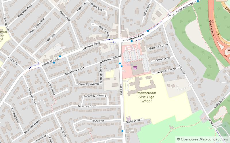
Penwortham Priory was first a Benedictine priory and, after the Dissolution of the Monasteries, a country house in the village of Penwortham, near Preston, Lancashire. The house was demolished as the village expanded into a town and a housing estate has replaced the mansion house and its grounds of which no trace remain. ()
Completed: 1850 (176 years ago)Coordinates: 53°44'55"N, 2°43'48"W
Address
Penwortham (Whitefield)Preston
ContactAdd
Social media
Add
Day trips
Penwortham Priory – popular in the area (distance from the attraction)
Nearby attractions include: St George's Shopping Centre, Covered Market, Fishergate Shopping Centre, Church of St Walburge.
Frequently Asked Questions (FAQ)
Which popular attractions are close to Penwortham Priory?
Nearby attractions include St Mary's Church, Preston (13 min walk), Penwortham Castle, Preston (15 min walk).
How to get to Penwortham Priory by public transport?
The nearest stations to Penwortham Priory:
Bus
Train
Bus
- Meadow Court • Lines: 119 (21 min walk)
- Hartington Road • Lines: 111, 119, 74, 75 (22 min walk)
Train
- Preston (27 min walk)
- Preston Riversway (31 min walk)


