St Joseph's Church, Stockport
Map

Map

Facts and practical information
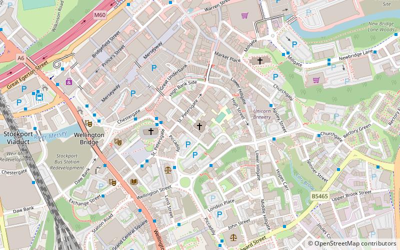
St Joseph's Church is a Roman Catholic Parish church in Stockport, Greater Manchester, England. It was built from 1861 to 1862 and designed by Matthew Ellison Hadfield. It is situated on St Petersgate, south west of the High Street. It is the only church in England administered by the Priests of the Sacred Heart and is a Grade II listed building. ()
Completed: 1862 (164 years ago)Architectural style: Gothic revivalCoordinates: 53°24'35"N, 2°9'28"W
Day trips
St Joseph's Church – popular in the area (distance from the attraction)
Nearby attractions include: Merseyway Shopping Centre, Hat Works Museum, St Mary's Church, Edgeley Park.
Frequently Asked Questions (FAQ)
Which popular attractions are close to St Joseph's Church?
Nearby attractions include St Peter's Church, Stockport (2 min walk), Stockport Air Raid Shelters, Stockport (4 min walk), Staircase House, Stockport (4 min walk), St Mary's Church, Stockport (4 min walk).
How to get to St Joseph's Church by public transport?
The nearest stations to St Joseph's Church:
Bus
Train
Bus
- Stockport, St. Peter's Square / St. Petersgate • Lines: 323, 328, 364 (2 min walk)
- Stockport, Wellington Street / near Piccadilly • Lines: 314, 364 (2 min walk)
Train
- Stockport (10 min walk)
- Heaton Chapel (37 min walk)


