Walton Hill
Map

Gallery

Facts and practical information
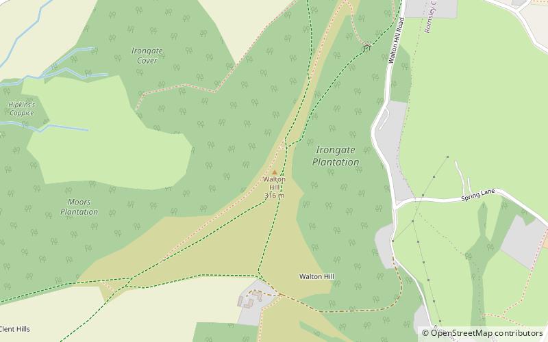
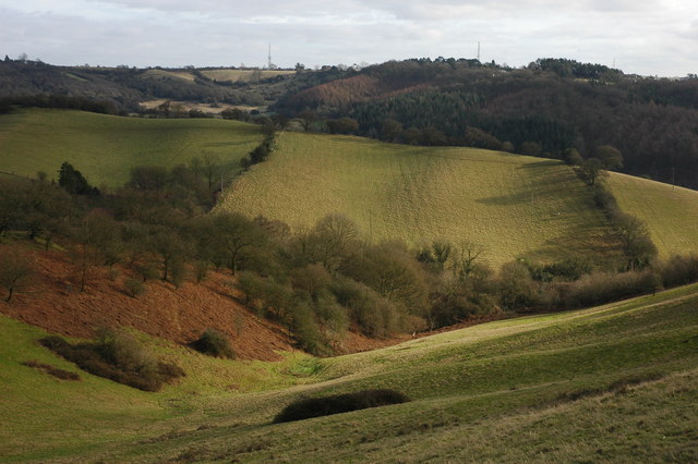
At 316 metres above sea level, Walton Hill is the highest point in the range of hills in northern Worcestershire known as the Clent Hills. It is the highest point for 21 miles in all directions, and as such commands an excellent panorama. Its neighbours include Clent Hill, Wychbury Hill, Calcot Hill, and Romsley Hill. ()
Elevation: 1037 ftProminence: 679 ftCoordinates: 52°24'56"N, 2°5'10"W
Location
England
ContactAdd
Social media
Add
Day trips
Walton Hill – popular in the area (distance from the attraction)
Nearby attractions include: Clent Hills, Uffmoor Wood, Clent Castle, Castle in Hagley Park.


