Clent Hills
Map

Gallery

Facts and practical information
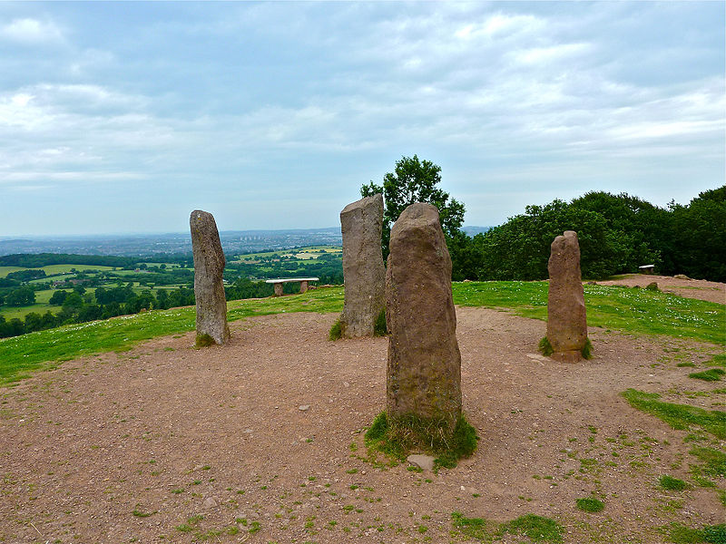
The Clent Hills lie 10 miles south-west of Birmingham city centre in Clent, Worcestershire, England. The closest towns are Stourbridge and Halesowen, both in the West Midlands conurbation. The Clent Hills range consists of, in order from north-west to south-east: Wychbury Hill, Clent Hill, and Walton Hill. The north Worcestershire range of hills continues eastwards to include Romsley Hill, Waseley Hills and the Lickey Hills. ()
Elevation: 1033 ftProminence: 148 ftCoordinates: 52°24'55"N, 2°5'12"W
Location
England
ContactAdd
Social media
Add
Day trips
Clent Hills – popular in the area (distance from the attraction)
Nearby attractions include: Walton Hill, Uffmoor Wood, Clent Castle, Castle in Hagley Park.


