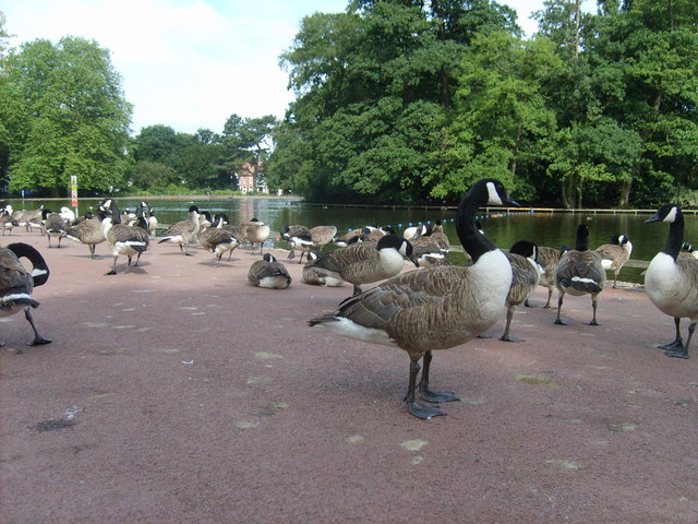
West Park, Wolverhampton
Map
Gallery
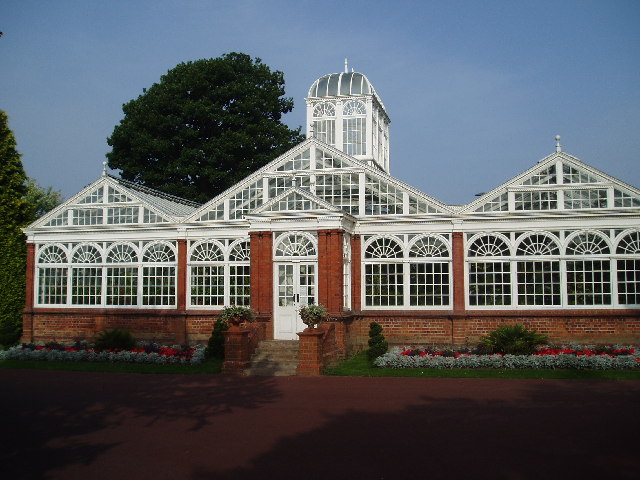
Facts and practical information
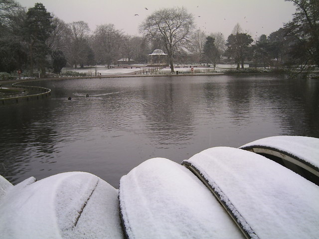
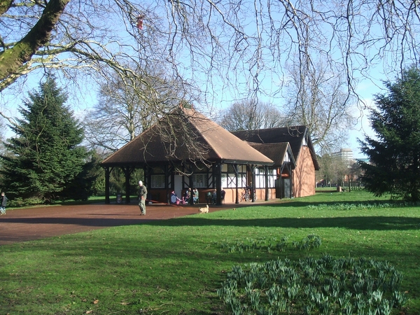
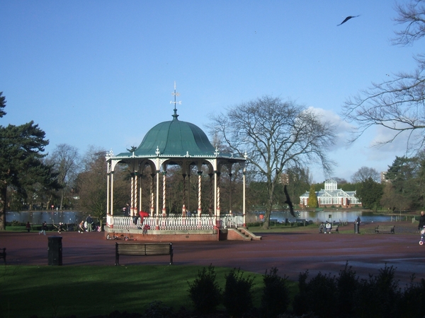
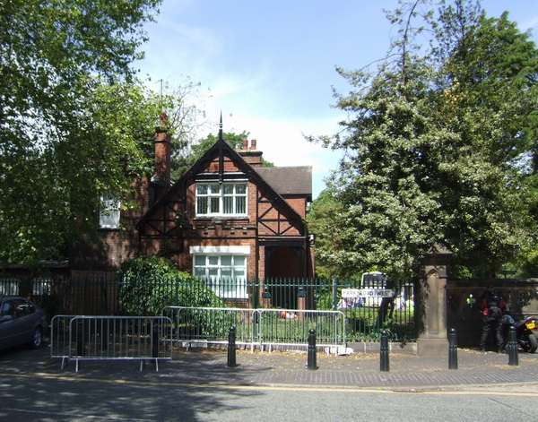
Formerly called the People's Park, Wolverhampton's West Park was opened on 6 June 1881. ()
Elevation: 436 ft a.s.l.Coordinates: 52°35'23"N, 2°8'23"W
Day trips
West Park – popular in the area (distance from the attraction)
Nearby attractions include: Wolverhampton Art Gallery, Molineux Stadium, Wolverhampton Racecourse, St Peter's Collegiate Church.
Frequently Asked Questions (FAQ)
Which popular attractions are close to West Park?
Nearby attractions include Chapel Ash, Wolverhampton (7 min walk), St Andrew's Church, Wolverhampton (10 min walk), Wolverhampton Archives and Local Studies, Wolverhampton (11 min walk), St Peter and St Paul's Church, Wolverhampton (11 min walk).
How to get to West Park by public transport?
The nearest stations to West Park:
Bus
Tram
Train
Bus
- New Hampton Road Eas / Great Hampton St • Lines: 6, 6A, 763 (5 min walk)
- Tettenhall Rd / Connaught Rd • Lines: 1, 891 (7 min walk)
Tram
- Wolverhampton St Georges • Lines: 1 (20 min walk)
- The Royal • Lines: 1 (29 min walk)
Train
- Wolverhampton (22 min walk)


