Rosthwaite Fell, Lake District National Park

Gallery (3)
Map
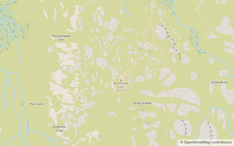
Map
Gallery
Facts and practical information
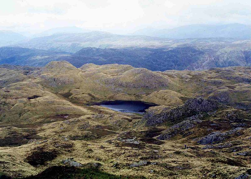
Rosthwaite Fell is a fell in the English Lake District. It is situated some 12 kilometres due south of Keswick and 2 kilometres south of the village of Rosthwaite in Borrowdale. ()
Elevation: 2008 ftProminence: 49 ftCoordinates: 54°29'47"N, 3°9'3"W
Address
Lake District National Park
ContactAdd
Social media
Add
Getting there by public transportation
Public transportation stops near this location
- Bus
 Bus
Bus
- Calculate routeNational Trust car park ;National Trust car park 35 min walk
Day trips


Frequently Asked Questions (FAQ)
How to get to Rosthwaite Fell by public transport?
The nearest stations to Rosthwaite Fell:
Bus
Bus
- National Trust car park ;National Trust car park • Lines: 78 (35 min walk)