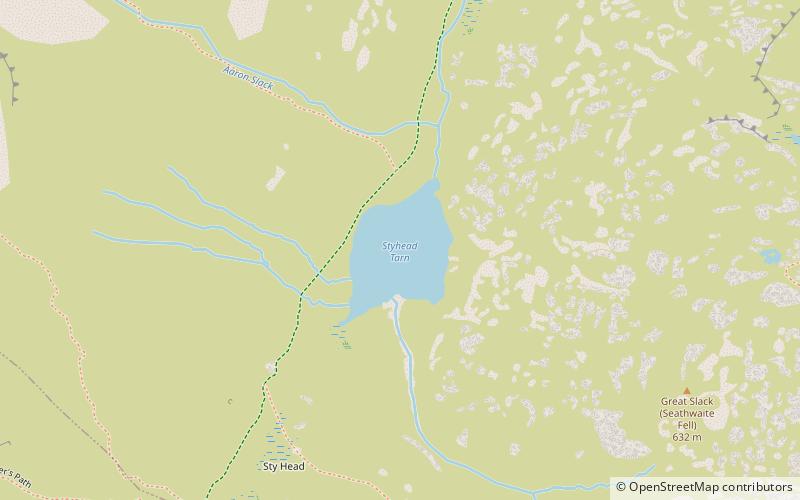
Styhead Tarn, Lake District National Park
Map

Map

Facts and practical information
Styhead Tarn is a tarn in the English Lake District, near the top of the Sty Head pass, at the head of Borrowdale. It is on the route from Wasdale to Borrowdale, and is therefore a well visited point in the Lake District. It is also passed by walkers ascending Scafell Pike from Borrowdale via the Corridor Route. It is permissible to fish the tarn which contains wild brown trout. ()
Elevation: 1444 ft a.s.l.Coordinates: 54°28'41"N, 3°12'9"W
Address
Lake District National Park
ContactAdd
Social media
Add
Day trips
Styhead Tarn – popular in the area (distance from the attraction)
Nearby attractions include: Great Gable, Green Gable, Lingmell, Sprinkling Tarn.
Frequently Asked Questions (FAQ)
Which popular attractions are close to Styhead Tarn?
Nearby attractions include Sty Head, Lake District National Park (8 min walk), Seathwaite Fell, Lake District National Park (13 min walk), Sprinkling Tarn, Lake District National Park (16 min walk), Green Gable, Lake District National Park (19 min walk).


