Herefordshire Beacon

Gallery (2)
Map
Map
Gallery
Facts and practical information
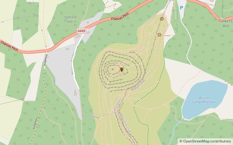
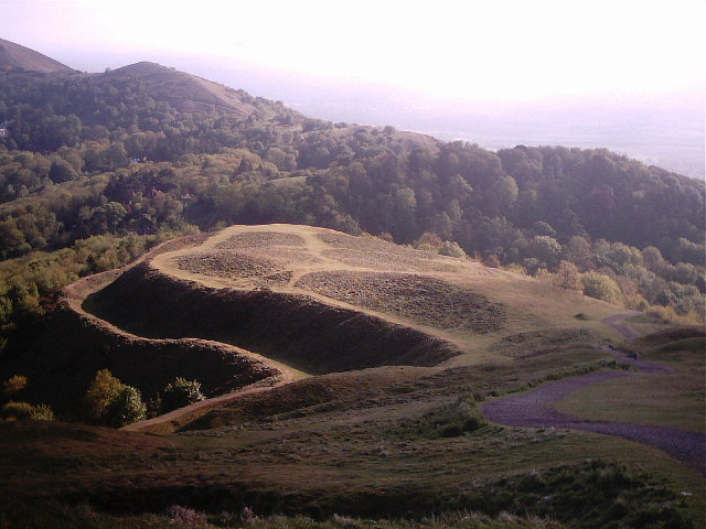
The Herefordshire Beacon is one of the highest peaks of the Malvern Hills, and is high enough to be classified as a mountain. It is surrounded by a British Iron Age hill fort earthwork known as British Camp. The fort subsequently had a ringwork and bailey castle built inside its boundary and there is evidence of 120 huts in the area. British Camp has been a scheduled monument since 1923. ()
Elevation: 1109 ftCoordinates: 52°3'29"N, 2°21'6"W
Location
England
ContactAdd
Social media
Add
Day trips


