Swinyard Hill

Gallery (1)
Map
Map
Facts and practical information
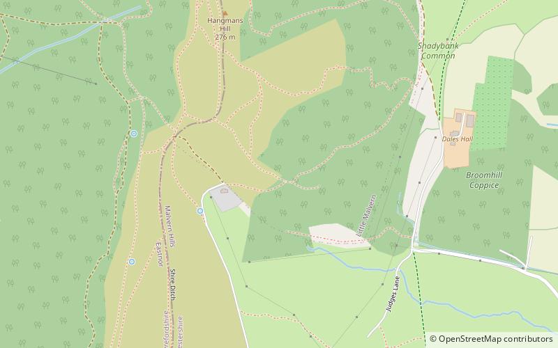
Swinyard Hill is a hill in the Malvern Range, a line of hills that runs approximately 13 kilometres north-south along the Herefordshire-Worcestershire border. Swinyard Hill lies north of Midsummer Hill and south of Hangmans Hill. It has an elevation of 272 metres. ()
Elevation: 892 ftCoordinates: 52°2'54"N, 2°20'43"W
Location
England
ContactAdd
Social media
Add
Day trips


