Northam Bridge, Southampton
Map
Gallery
Facts and practical information
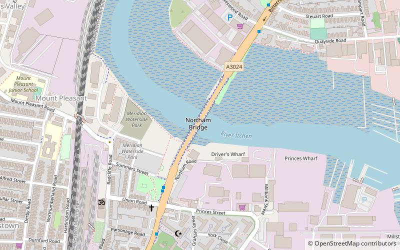
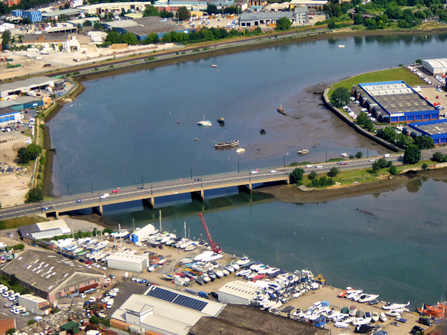
The Northam Bridge is a road bridge across the River Itchen in Southampton, England, linking the suburbs of Northam and Bitterne Manor. The current bridge was the first major prestressed concrete road bridge to be built in the United Kingdom. The bridge carries the A3024 road as a dual carriageway, with two lanes on each carriageway. ()
Length: 486 ftWidth: 44 ftCoordinates: 50°54'51"N, 1°23'11"W
Day trips
Northam Bridge – popular in the area (distance from the attraction)
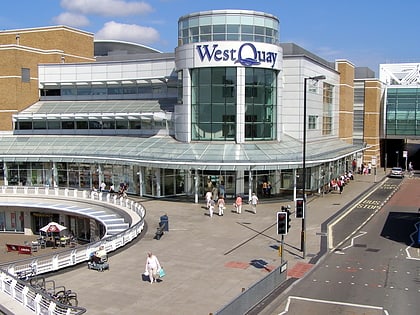
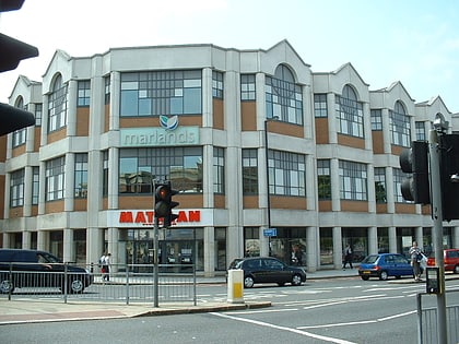
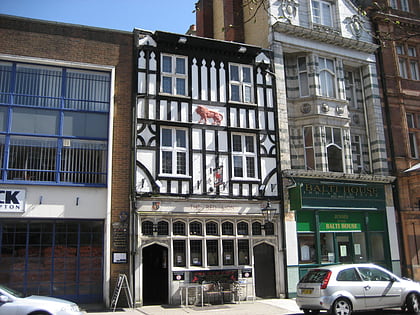
Nearby attractions include: Westquay, The Marlands, St Mary's Stadium, Red Lion Inn.
Frequently Asked Questions (FAQ)
Which popular attractions are close to Northam Bridge?
Nearby attractions include Bevois Valley, Southampton (11 min walk), Nicholstown, Southampton (12 min walk), Chessel Bay, Southampton (14 min walk), Cobbett Hub & Library, Southampton (16 min walk).
How to get to Northam Bridge by public transport?
The nearest stations to Northam Bridge:
Train
Bus
Train
- Bitterne (13 min walk)
- St Denys (15 min walk)
Bus
- Law Courts • Lines: U1A, U2, U2B, U2C (18 min walk)
- Archers Road • Lines: U1A, U2, U2B, U2C (19 min walk)

