Bardwell Road, Oxford
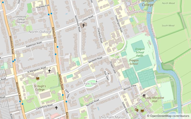
Map
Gallery
Facts and practical information
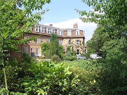
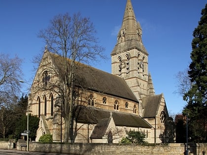
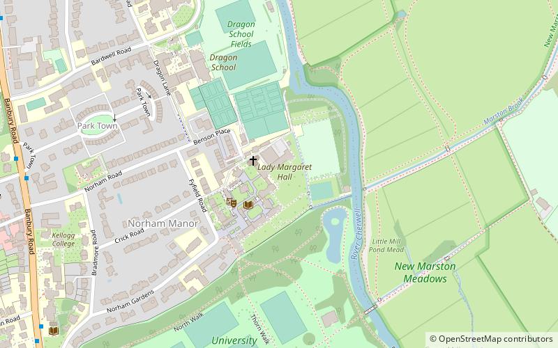
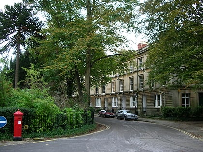
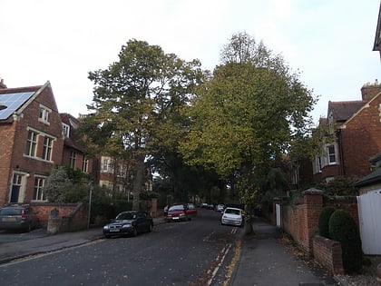
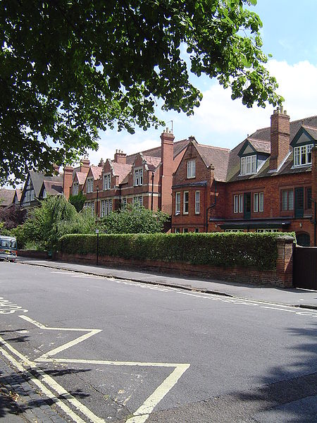
Bardwell Road is a road in North Oxford, England, off the Banbury Road. ()
Coordinates: 51°46'4"N, 1°15'30"W
Day trips
Bardwell Road – popular in the area (distance from the attraction)
Nearby attractions include: North Parade, Oxford Centre for Mission Studies, Lady Margaret Hall, Park Town.
Frequently Asked Questions (FAQ)
Which popular attractions are close to Bardwell Road?
Nearby attractions include Northmoor Road, Oxford (3 min walk), Linton Road, Oxford (5 min walk), Norham Road, Oxford (5 min walk), Chadlington Road, Oxford (5 min walk).
How to get to Bardwell Road by public transport?
The nearest stations to Bardwell Road:
Bus
Train
Bus
- St Margarets Road • Lines: 35, 853 (8 min walk)
- Plantation Road • Lines: 35, 853 (11 min walk)
Train
- Oxford (29 min walk)
