Mynydd Merthyr
#4889 among destinations in the United Kingdom
![Mynydd Merthyr location map](https://tzmedia.b-cdn.net/media/images/static-maps/gb/51_705_-3_37306.jpg)
Facts and practical information
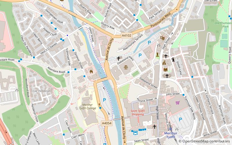
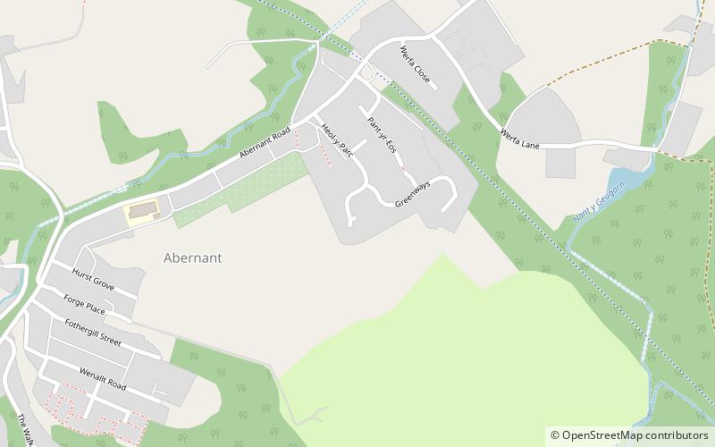
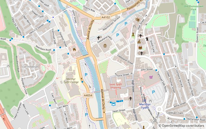
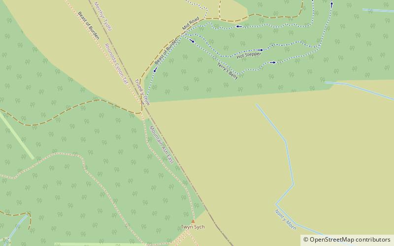
Mynydd Merthyr is a broad ridge of high ground between Taff Vale and the Cwm Cynon in the Valleys region of South Wales. It forms the boundary between the unitary authorities of Rhondda Cynon Taff to the west and Merthyr Tydfil to the east. ()
WalesUnited Kingdom
Mynydd Merthyr plan & book
Unleash the traveler in you — discover the cheapest flight deals, find the perfect hotel or hostel nearby, and search for the best car rental prices. Travel at your own pace to discover new places and enjoy your journey.
Mynydd Merthyr – popular in the area (distance from the attraction)
Nearby attractions include: Old Iron Bridge, Joseph Parry's Cottage, Merthyr Tydfil Golf Club, Merthyr Tydfil Town Hall.
2.9 miNBridgeOld Iron Bridge, Merthyr Tydfil
75 min walk • The Old Iron Bridge of 1800, originally known simply as Merthyr Bridge before 1809, in Merthyr Tydfil, South Wales, was a cast-iron bridge across the River Taff.
3.2 miNArchitecture, Museum, History museumJoseph Parry's Cottage, Merthyr Tydfil
82 min walk • Joseph Parry's Cottage, also known as 4 Chapel Row, is a cottage located in Merthyr Tydfil, in South Wales. Built in the early 19th century for ironworkers, the cottage is best known as the birthplace of the famous Welsh composer Joseph Parry.
1.2 miSWGolfMerthyr Tydfil Golf Club, Merthyr Tydfil
31 min walk • Merthyr Tydfil Golf Club is a golf club based just outside Merthyr Tydfil at Merthyr Tydfil County Borough, Wales. Also known by the name "Cilsanws", this is an 18-hole mountain course. Their "Pay and Play" course is available to non-members.
2.9 miNCity hallMerthyr Tydfil Town Hall, Merthyr Tydfil
75 min walk • Merthyr Tydfil Town Hall is a municipal building in the High Street, Merthyr Tydfil, South Wales. The town hall, which was the headquarters of Merthyr Tydfil County Borough Council, is a Grade II* listed building.
3.1 miWChurch, Gothic Revival architectureSt Elvan's Church, Aberdare
80 min walk • St Elvan's Church is a Grade II* listed Anglican church in the centre of the town of Aberdare. It was built in 1851–1852, largely at the instigation of John Griffith, vicar of Aberdare from 1847 until 1859.
2.6 miNWGolfAberdare Golf Club, Aberdare
66 min walk • Aberdare Golf Club is a golf club based just outside Aberdare at Rhondda Cynon Taf, Wales. It was founded in 1921 as a parkland course at Abernant, about a mile from Aberdare and is an 18-hole golf course famous for its mature oak trees.
2 miNENature, Natural attraction, MountainMynydd Cilfach-yr-encil
52 min walk • Mynydd Cilfach-yr-encil attains a height of 445m at OS grid reference SO 079033 making it the high point of the broad ridge of high ground between Taff Vale and Cwm Bargod in the Valleys region of South Wales.
3.1 miNCanalGlamorganshire Canal, Merthyr Tydfil
80 min walk • The Glamorganshire Canal in South Wales, UK, was begun in 1790. It ran along the valley of the River Taff from Merthyr Tydfil to the sea at Cardiff. The final section of canal was closed in 1951.
2.8 miN51°44'43"N • 3°22'47"WSt Tydfil Shopping Centre, Merthyr Tydfil
72 min walk • Shopping, Shopping centre
3.2 miWChurchCalfaria, Aberdare
81 min walk • Calfaria Baptist Chapel, Aberdare, was one of the largest baptist churches in the South Wales Valleys and the oldest in the Aberdare valley. The chapel had an ornate interior, including a boarded ceiling with a deeply undercut rose, while the balcony balustrading had a cast iron front with an intricate foliage design.
2.9 miNChurchYnysgau Chapel, Merthyr Tydfil
74 min walk • Ynysgau Chapel was one of the earliest chapels in Merthyr Tydfil. The cause dated back to 1749 and services were held in the Welsh language. The chapel was demolished in 1967 as part of the Merthyr Town Improvement Scheme.