Glamorganshire Canal, Merthyr Tydfil
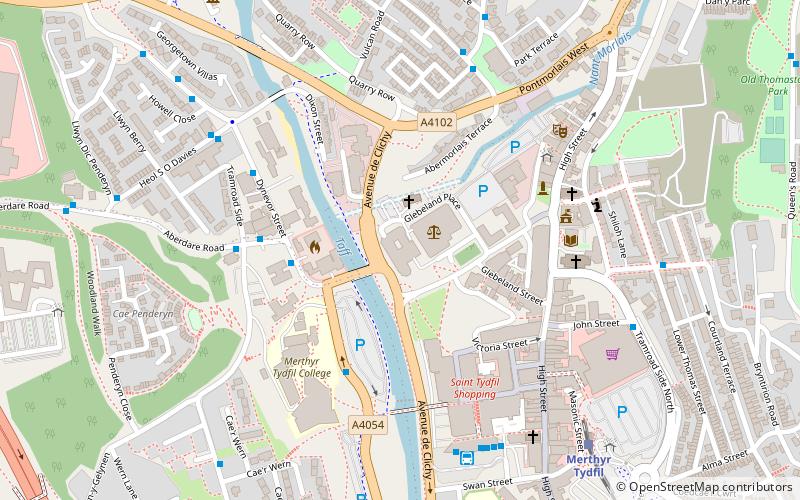
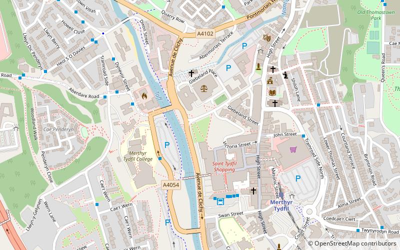
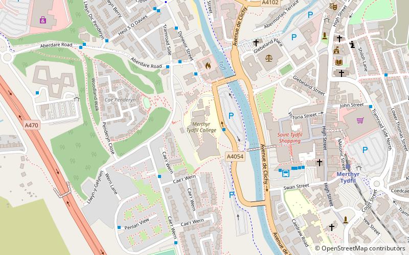
Map
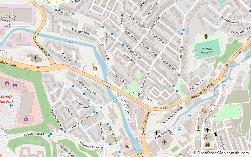
Gallery
Facts and practical information
The Glamorganshire Canal in South Wales, UK, was begun in 1790. It ran along the valley of the River Taff from Merthyr Tydfil to the sea at Cardiff. The final section of canal was closed in 1951. ()
Area: 24.24 acres (0.0379 mi²)Coordinates: 51°45'0"N, 3°22'60"W
Address
Merthyr Tydfil
ContactAdd
Social media
Add
Day trips
Glamorganshire Canal – popular in the area (distance from the attraction)
Nearby attractions include: Cyfarthfa Castle, Old Iron Bridge, Joseph Parry's Cottage, Merthyr Tydfil Town Hall.
Frequently Asked Questions (FAQ)
Which popular attractions are close to Glamorganshire Canal?
Nearby attractions include Joseph Parry's Cottage, Merthyr Tydfil (3 min walk), Old Iron Bridge, Merthyr Tydfil (6 min walk), Ynysgau Chapel, Merthyr Tydfil (7 min walk), Merthyr Tydfil Town Hall, Merthyr Tydfil (8 min walk).
How to get to Glamorganshire Canal by public transport?
The nearest stations to Glamorganshire Canal:
Bus
Train
Bus
- Park View • Lines: Me27-1, Me27-3, Me27-4 (4 min walk)
- St Mary's RC Church • Lines: Me27-1, Me27-3, Me27-4 (5 min walk)
Train
- Merthyr Tydfil (12 min walk)


