Old Iron Bridge, Merthyr Tydfil
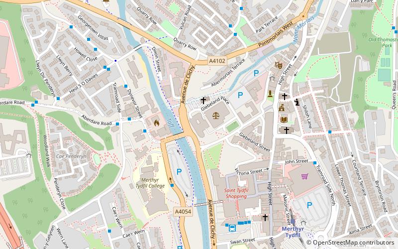
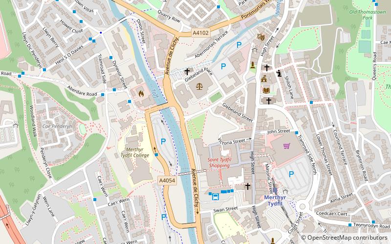
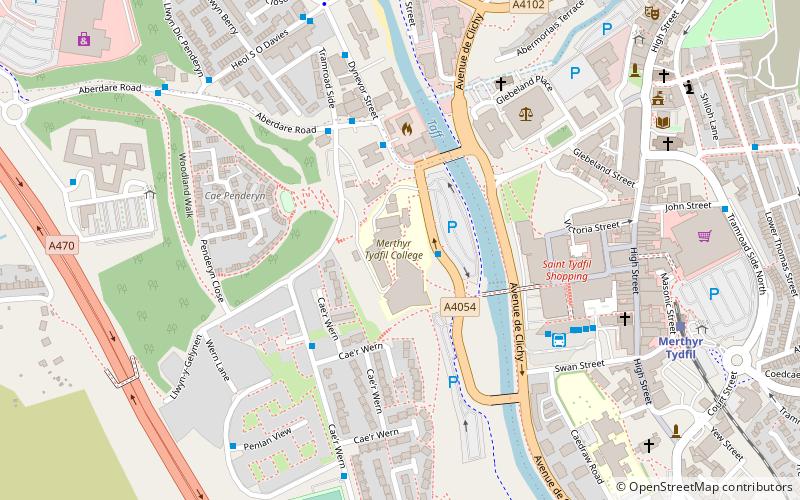
Map
Facts and practical information
The Old Iron Bridge of 1800, originally known simply as Merthyr Bridge before 1809, in Merthyr Tydfil, South Wales, was a cast-iron bridge across the River Taff. ()
Coordinates: 51°44'49"N, 3°22'53"W
Address
Merthyr Tydfil
ContactAdd
Social media
Add
Getting there by public transportation
Public transportation stops near this location
- Bus
- Train
 Bus
Bus
- Calculate routeMerthyr Tydfil College 4 min walk
- Calculate routePark View 5 min walk
- Calculate routeMerthyr Bus Station Stand 1 5 min walk
- Calculate routeMerthyr Tydfil 7 min walk
Day trips
Old Iron Bridge – popular in the area (distance from the attraction)
Nearby attractions include: Cyfarthfa Castle, Joseph Parry's Cottage, Merthyr Tydfil Town Hall, Glamorganshire Canal.


Frequently Asked Questions (FAQ)
Which popular attractions are close to Old Iron Bridge?
Nearby attractions include Ynysgau Chapel, Merthyr Tydfil (2 min walk), Merthyr Tydfil College, Merthyr Tydfil (4 min walk), Merthyr Tydfil Town Hall, Merthyr Tydfil (4 min walk), Glamorganshire Canal, Merthyr Tydfil (6 min walk).
How to get to Old Iron Bridge by public transport?
The nearest stations to Old Iron Bridge:
Bus
Train
Bus
- Merthyr Tydfil College • Lines: Me27-1, Me27-3, Me27-4 (4 min walk)
- Park View • Lines: Me27-1, Me27-3, Me27-4 (5 min walk)
Train
- Merthyr Tydfil (7 min walk)