Isabella Plantation, London
Map

Gallery

Facts and practical information
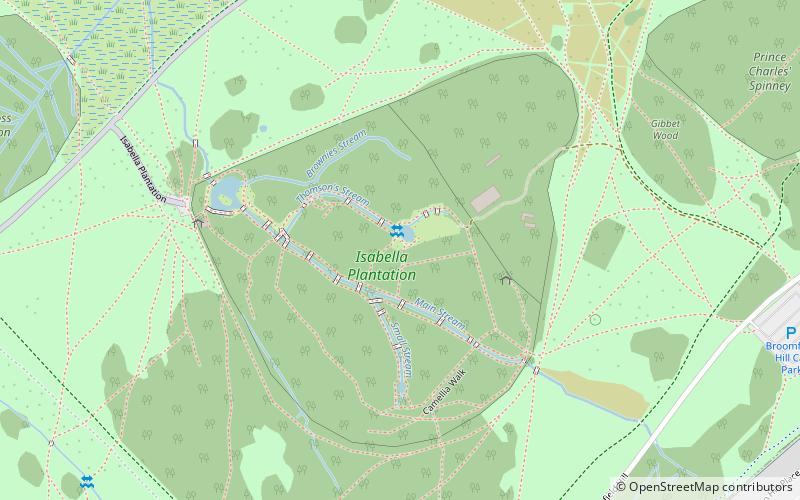
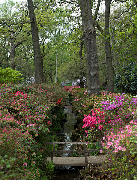
Isabella Plantation is a woodland garden in Richmond Park in south west London. It is managed by The Royal Parks. ()
Elevation: 141 ft a.s.l.Coordinates: 51°26'0"N, 0°16'37"W
Address
Richmond ParkRichmond upon Thames (Ham, Petersham and Richmond Riverside)London TW10 5HX
Contact
Social media
Add
Day trips
Isabella Plantation – popular in the area (distance from the attraction)
Nearby attractions include: Petersham Meadows, White Lodge, Canbury Gardens, Coombe Hill Wood.
Frequently Asked Questions (FAQ)
How to get to Isabella Plantation by public transport?
The nearest stations to Isabella Plantation:
Bus
Bus
- Kingston University • Lines: 85, K3 (12 min walk)
- Galsworthy House • Lines: 85, K3 (12 min walk)

 Tube
Tube


