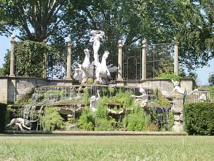
Petersham Meadows, London
Map
Gallery
Facts and practical information
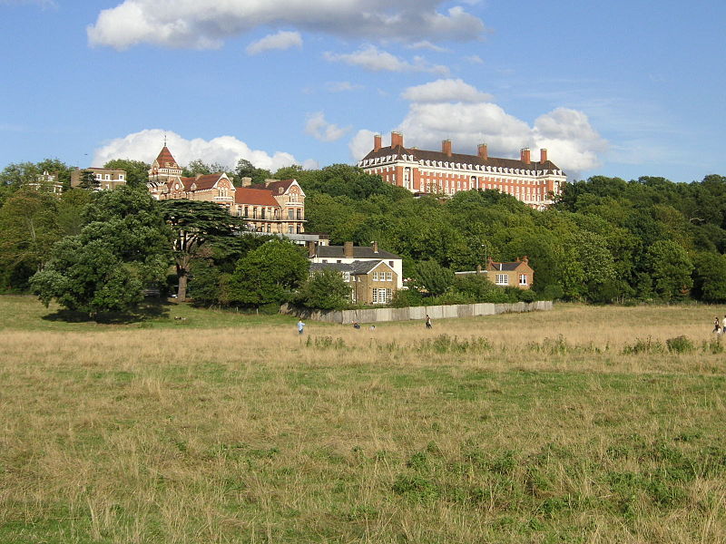
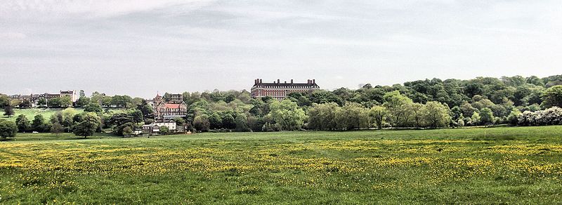
Petersham Meadows are a 24-acre water-meadow that lie alongside the River Thames in Petersham, London, bounded by Buccleuch Gardens, Manor Farm Livery Stables, the main Petersham Road and River Lane. The Capital Ring footpath crosses the meadow to reach Petersham and the Thames Path follows the towpath. ()
Elevation: 16 ft a.s.l.Coordinates: 51°26'58"N, 0°18'10"W
Address
Richmond upon Thames (Ham, Petersham and Richmond Riverside)London
ContactAdd
Social media
Add
Day trips
Petersham Meadows – popular in the area (distance from the attraction)
Nearby attractions include: East Sheen Cemetery, Marble Hill House, Richmond Bridge, Twickenham Bridge.
Frequently Asked Questions (FAQ)
Which popular attractions are close to Petersham Meadows?
Nearby attractions include Richmond Hill, London (8 min walk), Marble Hill House, London (11 min walk), Richmond Brewery Stores, London (12 min walk), Marble Hill Park, Feltham (12 min walk).
How to get to Petersham Meadows by public transport?
The nearest stations to Petersham Meadows:
Bus
Train
Metro
Bus
- Nightingale Lane • Lines: 65, N65 (4 min walk)
- The Dysart • Lines: 371, 65, N65 (7 min walk)
Train
- St Margarets (22 min walk)
- Twickenham (29 min walk)
Metro
- Richmond • Lines: District (25 min walk)



 Tube
Tube


