Latchmere Recreation Ground, Kingston upon Thames
Map

Map

Facts and practical information
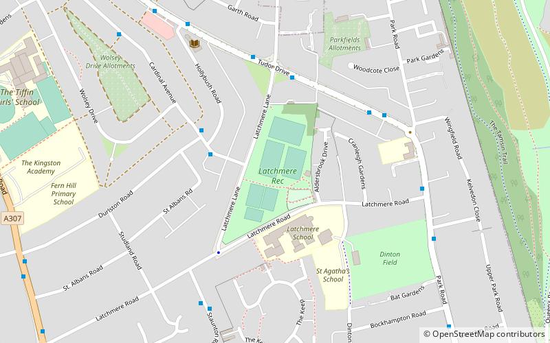
Latchmere Recreation Ground is a public open space with playing fields and a children's playground in the north of the Royal Borough of Kingston upon Thames. ()
Elevation: 26 ft a.s.l.Coordinates: 51°25'26"N, 0°17'42"W
Address
Kingston upon Thames (Tudor)Kingston upon Thames
ContactAdd
Social media
Add
Day trips
Latchmere Recreation Ground – popular in the area (distance from the attraction)
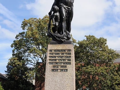
Nearby attractions include: Bentall Centre, Teddington Lock, Kingston upon Thames War Memorial, The Fighting Cocks.
Frequently Asked Questions (FAQ)
Which popular attractions are close to Latchmere Recreation Ground?
Nearby attractions include Canbury, Kingston upon Thames (14 min walk), Canbury Gardens, Kingston upon Thames (17 min walk), Trowlock Island, London (17 min walk), Kingston Railway Bridge, London (24 min walk).
How to get to Latchmere Recreation Ground by public transport?
The nearest stations to Latchmere Recreation Ground:
Bus
Train
Bus
- Hail & Ride Durlston Road • Lines: K5 (3 min walk)
- Latchmere Lane • Lines: 371 (4 min walk)
Train
- Kingston (21 min walk)
- Norbiton (24 min walk)


