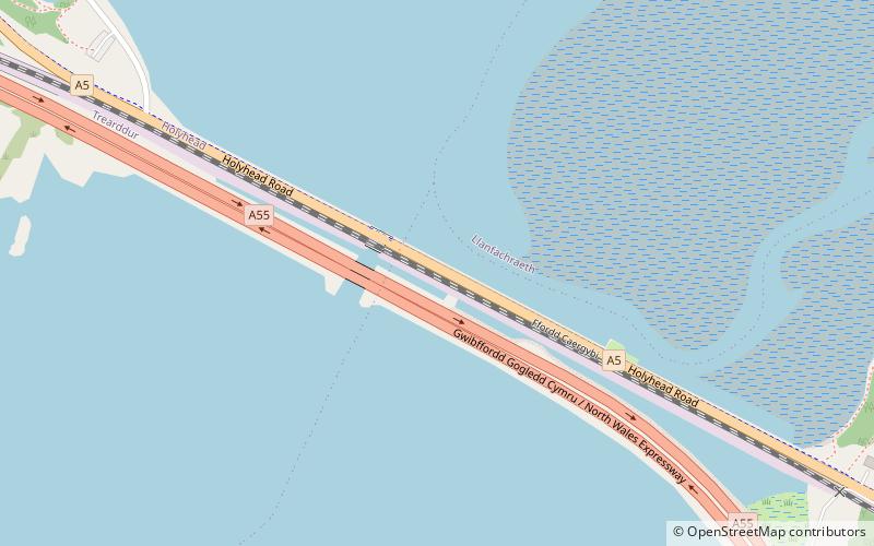
Stanley Embankment, Anglesey
Map

Map

Facts and practical information
The Stanley Embankment is a railway, road and cycleway embankment that crosses the Cymyran Strait in Wales, connecting the Island of Anglesey and Holy Island. It carries both the North Wales Coast Line for trains, which runs from Crewe to Holyhead and the A5 road between London and Holyhead. The embankment was designed by, and its construction overseen by, Thomas Telford and was named after the Stanley family who were significant benefactors to the area. ()
Coordinates: 53°17'24"N, 4°34'57"W
Address
Anglesey
ContactAdd
Social media
Add
Day trips
Stanley Embankment – popular in the area (distance from the attraction)
Nearby attractions include: Holyhead Golf Club, Anglesey Coastal Path, Holyhead Maritime Museum, Eglwys y Bedd.
Frequently Asked Questions (FAQ)
How to get to Stanley Embankment by public transport?
The nearest stations to Stanley Embankment:
Train
Train
- Valley (25 min walk)


