Caer Gybi Fort, Holyhead
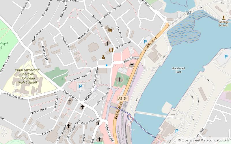
Map

Gallery

Facts and practical information
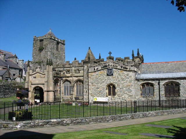
Caer Gybi was a small fortlet in Roman Wales in the Roman province of Britannia Superior. Its name in Latin is unknown. Today it stands at the centre of Holyhead in the Welsh county of Anglesey. Holyhead is named Caergybi in Welsh, after the fort. ()
Coordinates: 53°18'42"N, 4°37'58"W
Address
Holyhead
ContactAdd
Social media
Add
Day trips
Caer Gybi Fort – popular in the area (distance from the attraction)
Nearby attractions include: Anglesey Coastal Path, Holyhead Maritime Museum, Eglwys y Bedd, St Mary's Church.
Frequently Asked Questions (FAQ)
Which popular attractions are close to Caer Gybi Fort?
Nearby attractions include St Cybi's Church, Holyhead (1 min walk), Eglwys y Bedd, Holyhead (1 min walk), Holyhead Market Hall, Holyhead (1 min walk), The Celtic Gateway, Holyhead (5 min walk).
How to get to Caer Gybi Fort by public transport?
The nearest stations to Caer Gybi Fort:
Train
Train
- Holyhead (8 min walk)


