Anglesey Coastal Path, Holyhead

Gallery (1)
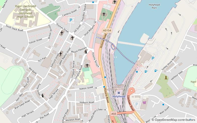
Map
Map
Facts and practical information
The Anglesey Coastal Path is a 200-kilometre long-distance footpath around the island of Anglesey in North Wales. The route is part of the Wales Coast Path. ()
Getting there by public transportation
Public transportation stops near this location
- Train
 Train
Train
- Calculate routeHolyhead 4 min walk
Day trips


Frequently Asked Questions (FAQ)
Which popular attractions are close to Anglesey Coastal Path?
Nearby attractions include St Mary's Church, Holyhead (2 min walk), The Celtic Gateway, Holyhead (3 min walk), Eglwys y Bedd, Holyhead (5 min walk), Port of Holyhead, Holyhead (5 min walk).
How to get to Anglesey Coastal Path by public transport?
The nearest stations to Anglesey Coastal Path:
Train
Train
- Holyhead (4 min walk)