Powis Almshouses, Chepstow
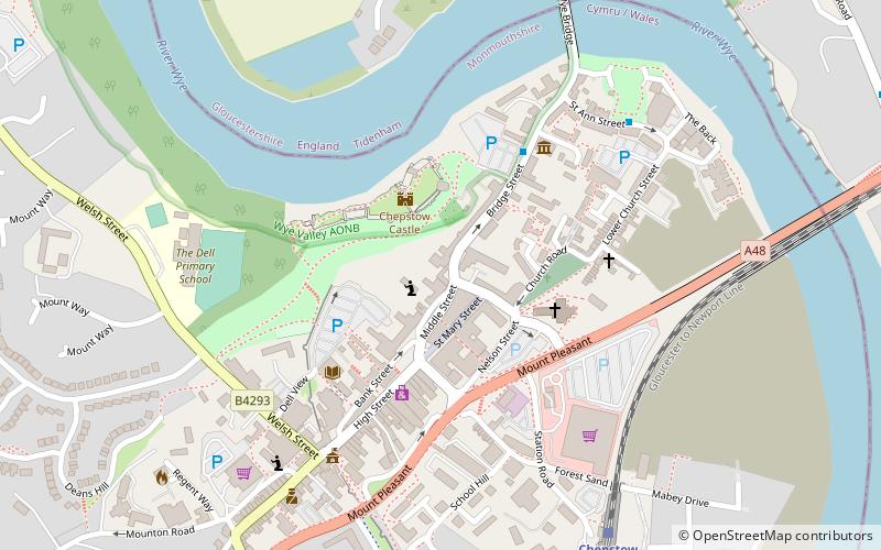
Map

Map

Facts and practical information
The Powis Almshouses are a block of almshouses in Chepstow, Monmouthshire, Wales, located at the junction of Church Street and Bridge Street. The building dates from about 1721, and was constructed as a result of a bequest from Thomas Powis, a vintner who was probably born in the town. The almshouse is a Grade II* listed building. ()
Coordinates: 51°38'35"N, 2°40'28"W
Address
Chepstow
ContactAdd
Social media
Add
Day trips
Powis Almshouses – popular in the area (distance from the attraction)
Nearby attractions include: Offa's Dyke Path, Chepstow Castle, Chepstow Racecourse, Gloucester Hole.
Frequently Asked Questions (FAQ)
Which popular attractions are close to Powis Almshouses?
Nearby attractions include Chepstow Castle, Letcombe Valley (2 min walk), Chepstow War Memorial, Chepstow (3 min walk), Priory Church of St Mary, Chepstow (3 min walk), Chepstow Museum, Chepstow (4 min walk).
How to get to Powis Almshouses by public transport?
The nearest stations to Powis Almshouses:
Bus
Train
Bus
- Chepstow (6 min walk)
Train
- Chepstow (7 min walk)


