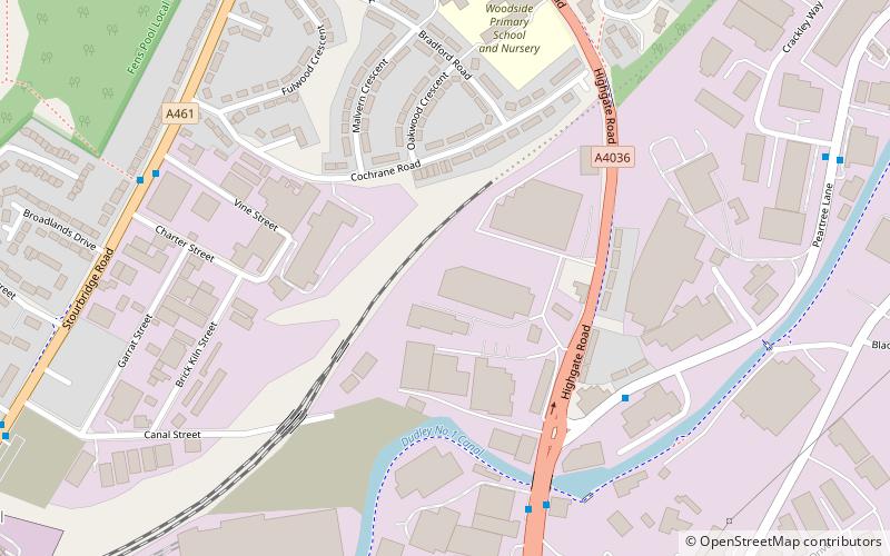
Pensnett Canal, Dudley
Map

Map

Facts and practical information
The Pensnett Canal, also called Lord Ward's Canal was a private 1.25 miles long canal near Brierley Hill, West Midlands, England, which opened in 1840 and served the industrial enterprises of Lord Dudley's Estate. The engineer was Mathew Frost. Since its closure to navigation in 1950, much of it has been lost by overbuilding, but a small section at its junction with the Dudley Canal was restored in 1995, and the section through Brierley Hill remains in water, although it is polluted and not navigable. ()
Length: 6600 ftCoordinates: 52°29'34"N, 2°6'31"W
Address
Dudley (Netherton)Dudley
ContactAdd
Social media
Add
Day trips
Pensnett Canal – popular in the area (distance from the attraction)
Nearby attractions include: intu Merry Hill, Delph Locks, Barrow Hill, Saltwells Local Nature Reserve.
Frequently Asked Questions (FAQ)
Which popular attractions are close to Pensnett Canal?
Nearby attractions include Parkhead Viaduct, Dudley (14 min walk), Fens Pools, Dudley (16 min walk), Church of St Andrew, Dudley (18 min walk), Netherton Reservoir, Dudley (22 min walk).
How to get to Pensnett Canal by public transport?
The nearest stations to Pensnett Canal:
Bus
Bus
- Pedmore Rd / Peartree Lane • Lines: 8 (6 min walk)
- Waterfront Way / Pedmore Rd • Lines: 8 (7 min walk)


