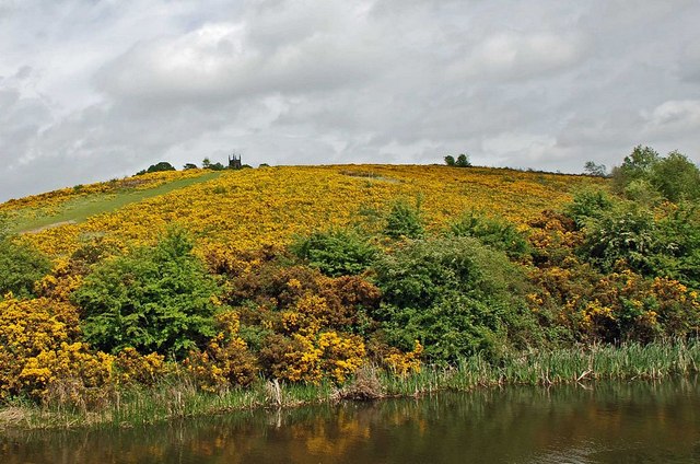
Saltwells Local Nature Reserve, Dudley
Map

Gallery

Facts and practical information
Saltwells Local Nature Reserve is situated in the Netherton area of Dudley Metropolitan Borough in West Midlands, England. The reserve, created in 1981, covers 247 acres and includes Saltwells Wood and part of Netherton Hill within its boundaries. The reserve encloses two Sites of Special Scientific Interest and one scheduled ancient monument. ()
Created: 1981Elevation: 390 ft a.s.l.Coordinates: 52°28'54"N, 2°5'59"W
Day trips
Saltwells Local Nature Reserve – popular in the area (distance from the attraction)
Nearby attractions include: intu Merry Hill, Delph Locks, Church of St Andrew, Bumble Hole Local Nature Reserve.
Frequently Asked Questions (FAQ)
Which popular attractions are close to Saltwells Local Nature Reserve?
Nearby attractions include Netherton Reservoir, Dudley (8 min walk), Mushroom Green, Dudley (12 min walk), Church of St Andrew, Dudley (18 min walk), Pensnett Canal, Dudley (22 min walk).
How to get to Saltwells Local Nature Reserve by public transport?
The nearest stations to Saltwells Local Nature Reserve:
Bus
Train
Bus
- D • Lines: 15, 15A (11 min walk)
- E • Lines: 250 (11 min walk)
Train
- Cradley Heath (24 min walk)


