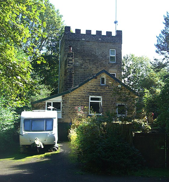
Glen Howe Park, Sheffield

Gallery (2)
Map
Map
Gallery
Facts and practical information
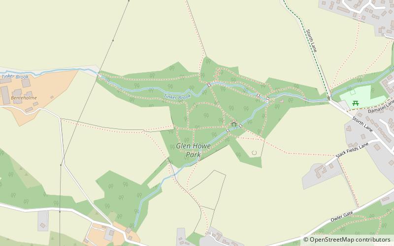
Glen Howe Park is a public recreation area in the village of Wharncliffe Side within the City of Sheffield, England. The park covers an area of 19 acres in the valley of the Tinker Brook, a minor tributary of the River Don. It is home to a variety of fungi, rare plants and animals only found in ancient woodlands. ()
Elevation: 627 ft a.s.l.Coordinates: 53°26'38"N, 1°33'43"W
Address
Sheffield
ContactAdd
Social media
Add
Day trips


