Fyfield Down, Avebury

Gallery (2)
Map
Map
Gallery
Facts and practical information
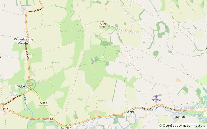
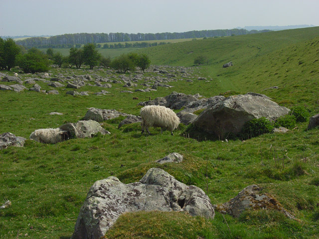
Fyfield Down is part of the Marlborough Downs, about 1.5 miles north of the village of Fyfield, Wiltshire. The down is a 325.3 hectare biological and geological Site of Special Scientific Interest, notified in 1951. The down has the best assemblage of sarsen stones in England, known as the Grey Wethers. ()
Coordinates: 51°26'13"N, 1°48'21"W
Address
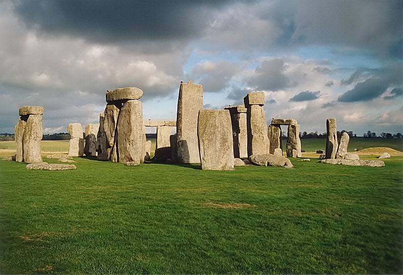
Avebury
ContactAdd
Social media
Add
Day trips