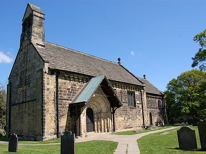
Arthington Viaduct, Leeds
Map
Map

Facts and practical information
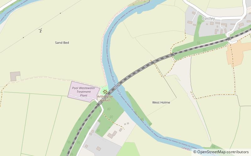
Arthington Viaduct, also known as Castley Viaduct and listed as the Wharfedale Viaduct, carries the Harrogate Line across the Wharfe valley between Arthington in West Yorkshire and Castley in North Yorkshire, England. It is a Grade II listed structure. ()
Coordinates: 53°54'21"N, 1°36'2"W
Address
Leeds
ContactAdd
Social media
Add
Day trips
Arthington Viaduct – popular in the area (distance from the attraction)
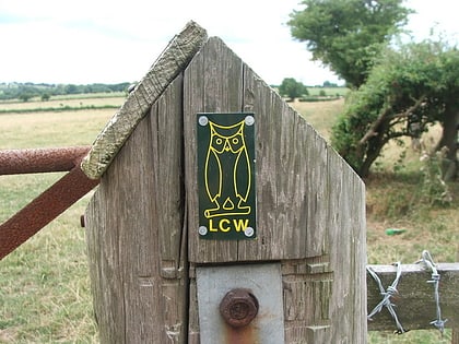
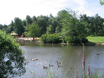
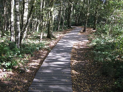
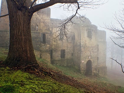
Nearby attractions include: Harewood House, Six Dales Trail, Leeds Country Way, Golden Acre Park.
Frequently Asked Questions (FAQ)
How to get to Arthington Viaduct by public transport?
The nearest stations to Arthington Viaduct:
Bus
Bus
- Pool Bank New Road • Lines: 940, A2, A3 (29 min walk)
- Main Street • Lines: 940, A2, A3 (30 min walk)


