St Benedict's Church, Warrington

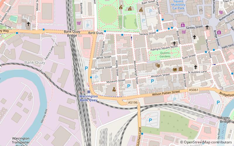
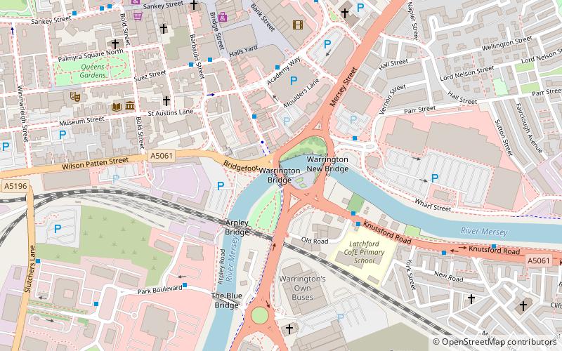
Map
Facts and practical information
St Benedict's Church is an active Roman Catholic church in the Orford suburb of Warrington, Cheshire, England. The parish was founded by Benedictine monks from Ampleforth Abbey. However, it is now served by clergy from the Roman Catholic Archdiocese of Liverpool. ()
Completed: 1915 (111 years ago)Coordinates: 53°23'55"N, 2°35'14"W
Address
Warrington
ContactAdd
Social media
Add
Day trips
St Benedict's Church – popular in the area (distance from the attraction)
Nearby attractions include: Halliwell Jones Stadium, Sankey Valley Park, St Mary's Church, Warrington Museum & Art Gallery.
Frequently Asked Questions (FAQ)
Which popular attractions are close to St Benedict's Church?
Nearby attractions include Old St Ann's Church, Warrington (9 min walk), Orford Park, Warrington (11 min walk), St Alban's Church, Warrington (15 min walk), St Elphin's Church, Warrington (16 min walk).
How to get to St Benedict's Church by public transport?
The nearest stations to St Benedict's Church:
Bus
Train
Bus
- Owen Street • Lines: 20, 21, 22, 22A (8 min walk)
- Tesco • Lines: 20, 21, 22, 22A (8 min walk)
Train
- Warrington Central (13 min walk)
- Warrington Bank Quay (28 min walk)


