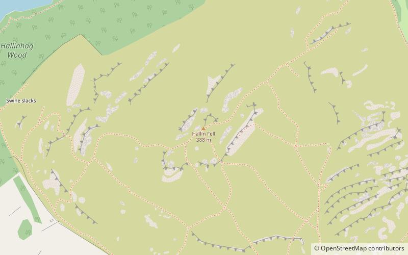
Hallin Fell, Lake District National Park

Map
Facts and practical information
Hallin Fell is a hill in the English Lake District surrounded on three sides by Ullswater. ()
Elevation: 1273 ftProminence: 535 ftCoordinates: 54°34'13"N, 2°52'42"W
Address
Lake District National Park
ContactAdd
Social media
Add
Day trips
Hallin Fell – popular in the area (distance from the attraction)
Nearby attractions include: Ullswater, St Peter's Church, Boredale, St Martin's Church.


