Steel Knotts

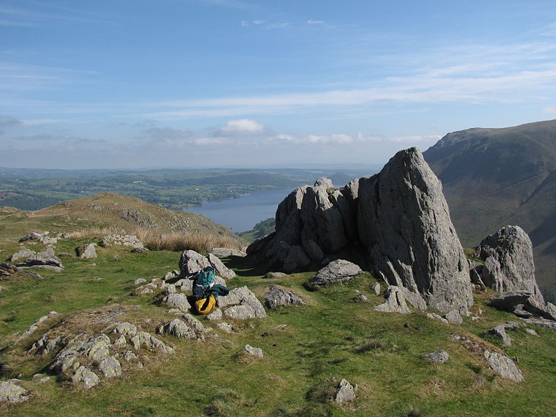
Gallery (2)
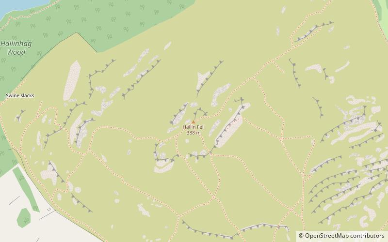
Map
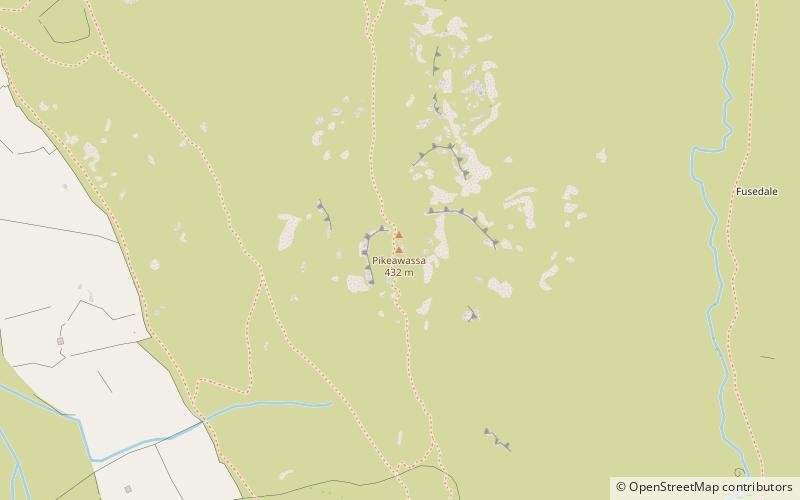
Map
Gallery
Facts and practical information
Steel Knotts is a fell in the English Lake District, near to Ullswater in the Far Eastern Fells. It stands between the valleys of Fusedale and Martindale on a ridge running north–south. ()
Coordinates: 54°33'19"N, 2°52'0"W
Location
England
ContactAdd
Social media
Add
Day trips