Boredale
Map

Map

Facts and practical information
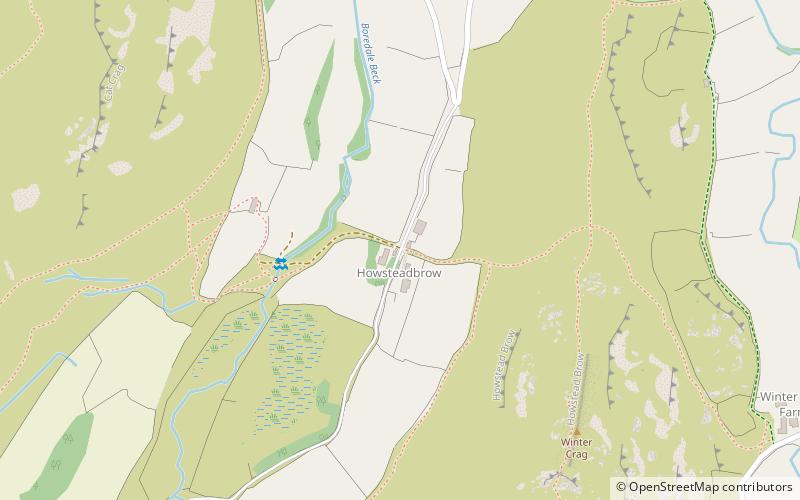
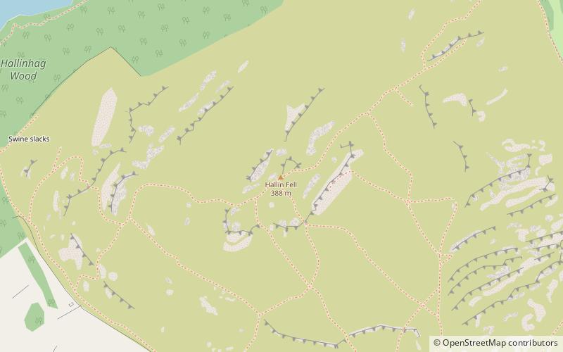
Boredale sometimes known as Boardale, is a valley within Lake District National Park, in Cumbria, England. The valley is close to the eastern shore of Ullswater and lies between the hills of Place Fell to the west and Beda Fell to the east. ()
Coordinates: 54°33'33"N, 2°53'11"W
Location
England
ContactAdd
Social media
Add
Day trips
Boredale – popular in the area (distance from the attraction)
Nearby attractions include: Ullswater, St Peter's Church, St Martin's Church, Beda Fell.


