Pilrig, Edinburgh
Map
Gallery
Facts and practical information
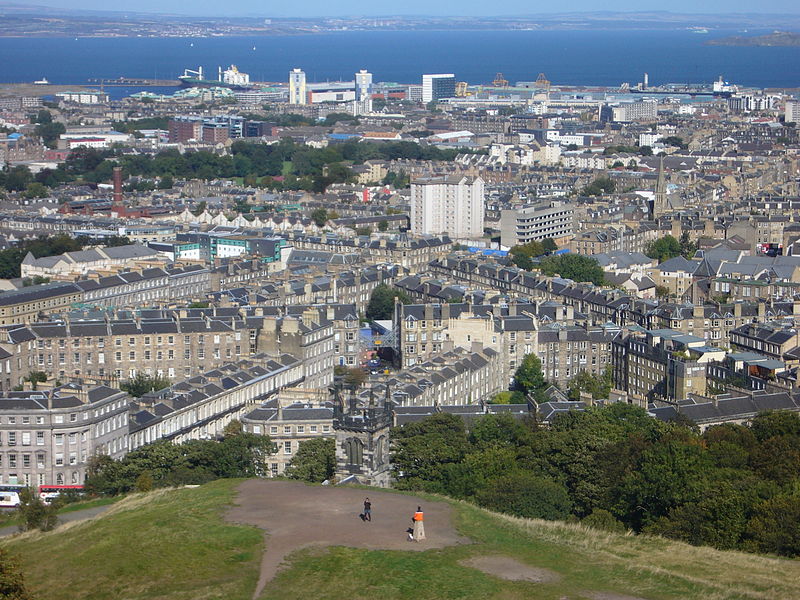
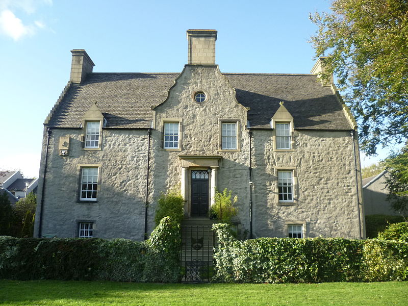
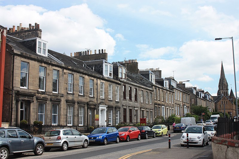
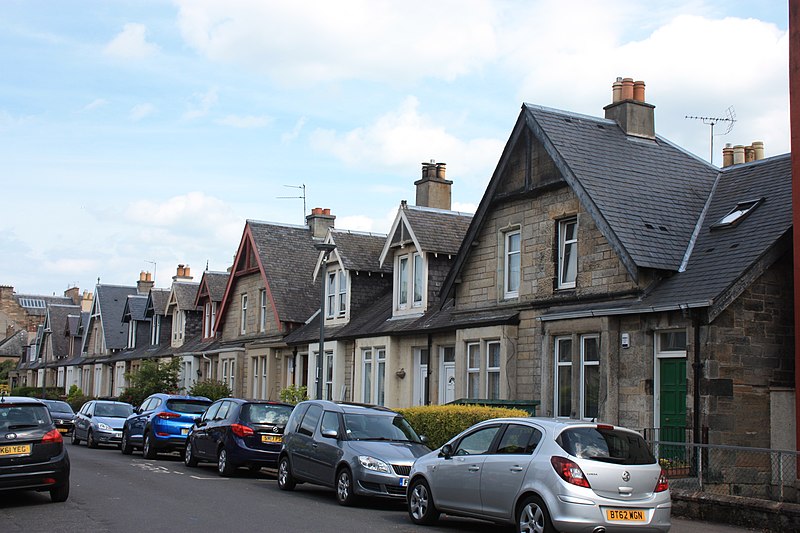
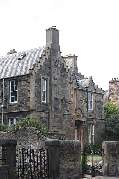
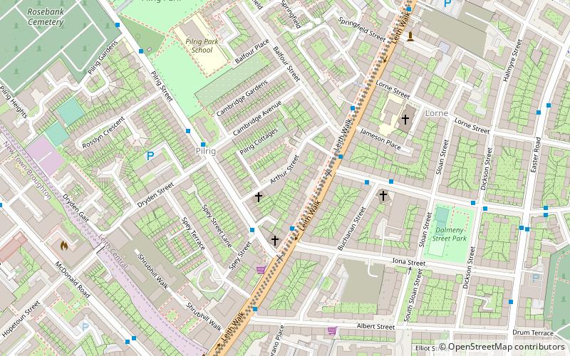
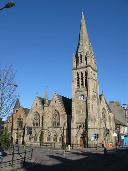
Pilrig is an area of Edinburgh, the capital of Scotland. The name probably derives from the long field on which a peel tower stood. There is evidence of a peel tower situated on an area of higher ground above the Water of Leith. ()
Coordinates: 55°57'50"N, 3°10'41"W
Address
Leith (Pilrig)Edinburgh
ContactAdd
Social media
Add
Day trips
Pilrig – popular in the area (distance from the attraction)
Nearby attractions include: Calton Hill, St. James Centre, Easter Road Stadium, Collective.
Frequently Asked Questions (FAQ)
Which popular attractions are close to Pilrig?
Nearby attractions include Rhubaba Gallery and Studios, Edinburgh (3 min walk), St Andrew's Ukrainian Catholic Church, Edinburgh (4 min walk), Leith Walk, Edinburgh (4 min walk), McDonald Road Library, Edinburgh (6 min walk).
How to get to Pilrig by public transport?
The nearest stations to Pilrig:
Bus
Tram
Train
Bus
- Pilrig Street • Lines: 49 (1 min walk)
- Shrubhill • Lines: 49 (4 min walk)
Tram
- St Andrew Square • Lines: Edinburgh Trams Eastbound, Edinburgh Trams Westbound (22 min walk)
- Princes Street • Lines: Edinburgh Trams Eastbound, Edinburgh Trams Westbound (29 min walk)
Train
- Edinburgh Waverley (25 min walk)


